
Reality Capture
Blog Articles about Reality Capture methods and PREVU3D Digital Twin Software.
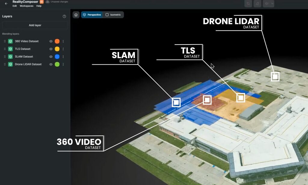
Gaussian Splats and LiDAR: Review in the Splat, Measure in the Point Cloud
Splats make a site readable, scans make it measurable. How to capture splats with a 360 camera, where their accuracy stops, and how to align them with LiDAR.
October 19, 2026
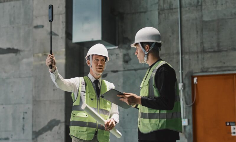
360 Camera vs Laser Scanner: When to Grab the Camera, and When to Call in the Crew
Prevu3D and Insta360 Enterprise built a practical framework for choosing between 360 camera capture and laser scanning, based on the decision at hand.
September 10, 2026
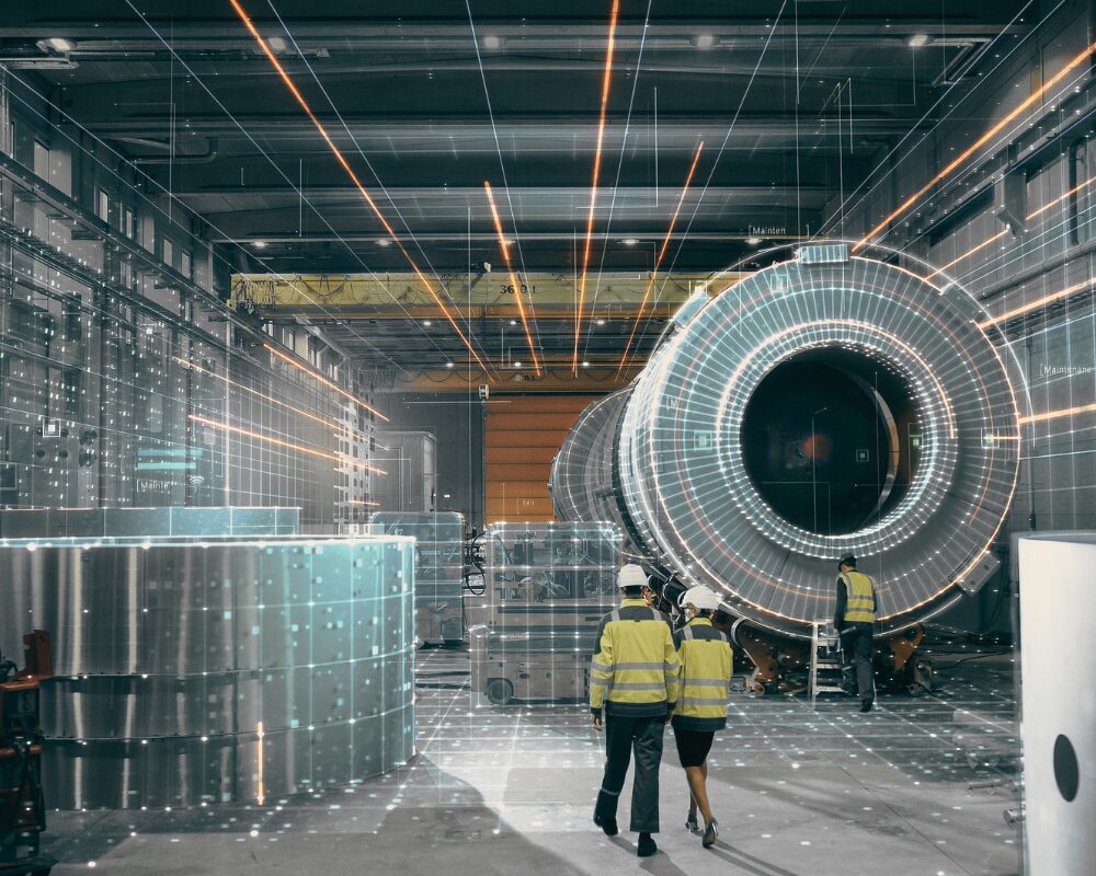
The Ultimate AI Enterprise Reality Layer for Digital Twins
Discover how Prevu3D's Enterprise Reality Layer for Digital Twin moves beyond static digital twins to connect reality capture data with engineering, operations, and AI.
August 17, 2026

How Insta360 and Prevu3D Are Changing How Industrial Teams Document Their Facilities
Insta360 cameras and Prevu3D RealityPlatform work together to turn 360 walkthroughs into navigable, decision-ready 3D environments for industrial teams.
June 5, 2026
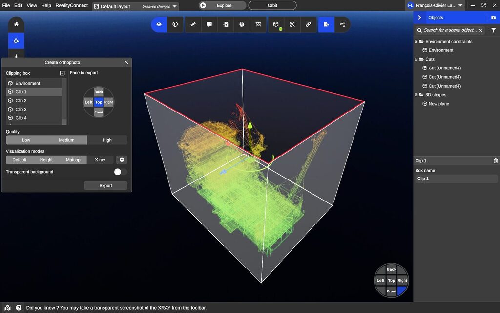
Turn Point Clouds Into Browser-Ready Digital Twins
Turn point clouds into browser-ready 3D models and digital twins—no installs, no hardware limits. Built for AEC teams.
May 27, 2026
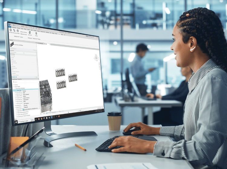
Scan-to-Revit: How Tetra Tech Cut Modeling Time
How Tetra Tech cut scan-to-Revit modeling from days to hours using Prevu3D's RealityConnect™ on a legacy water treatment retrofit with no existing drawings.
April 15, 2026
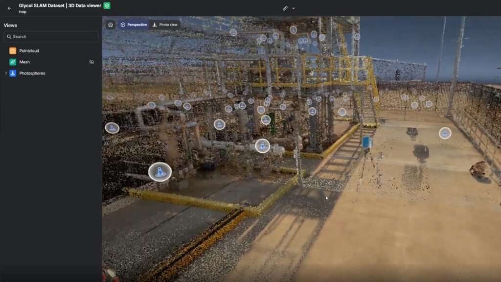
Cloud 3D Visualization: Browser-Based 3D Platforms and Cloud-Based Reality Capture
See how cloud 3D visualization turns point clouds into browser-streamed digital twins — no desktop software, no install, no rescans.
April 3, 2026
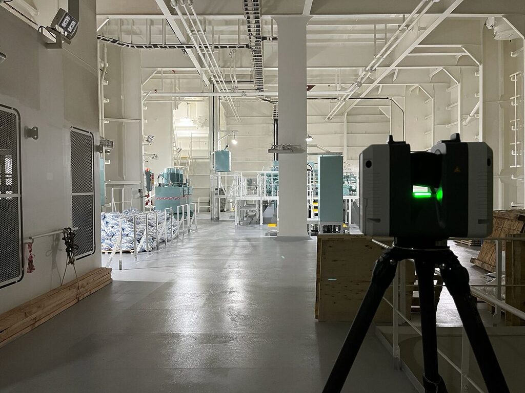
Why Structured Point Cloud Data Matters for 3D Meshing
When it comes to 3D scanning data, there are different kinds of point clouds, and understanding the differences between these types of data is crucial.
March 24, 2026
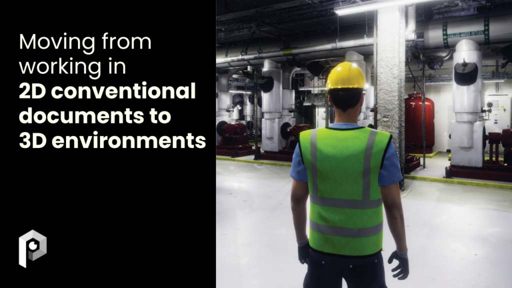
From 2D Documentation to Immersive 3D Environments in Engineering and Operations
Transition from 2D drawings to 3D digital environments. Discover how digital twins improve collaboration, reduce errors, and accelerate engineering workflows.
March 24, 2026
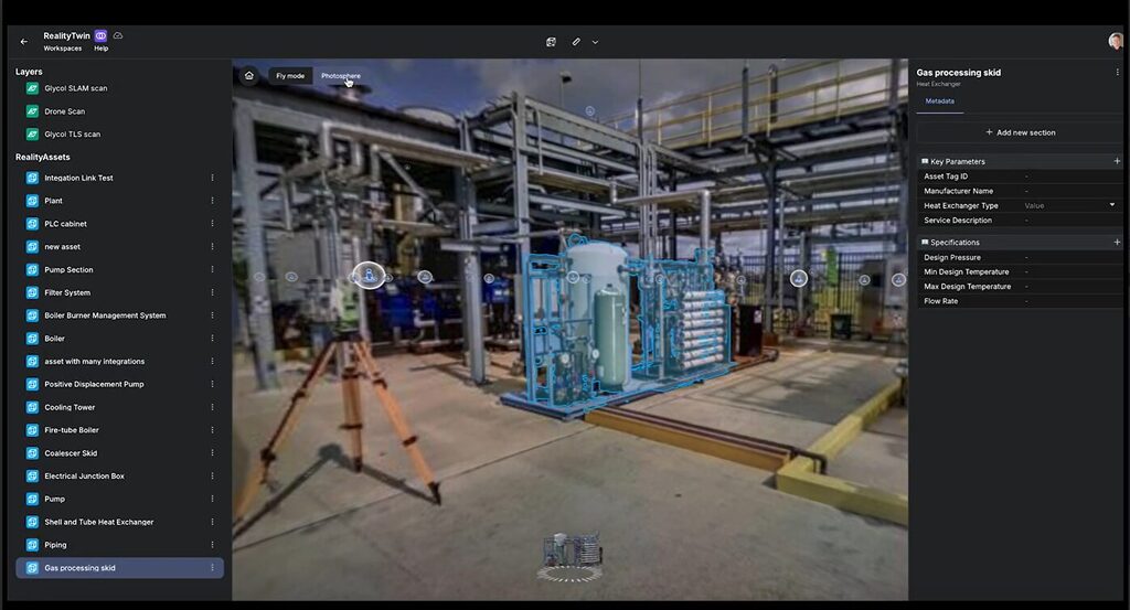
Choosing user-friendly reality capture software for efficient workflows
Simplify reality capture workflows with Prevu3D. Convert point clouds to lightweight 3D meshes, improve collaboration, and streamline EPC and scanning workflows.
March 9, 2026

Redefine 3D Visualization for Engineering and Construction
Evaluate next-gen 3D visualization tools. Prevu3D delivers mesh-based workflows, browser access, and collaborative reality capture for faster adoption and impact.
September 24, 2025
Simplify Revit Workflows with Seamless Reality Capture Integration
Streamline Revit modeling with RealityConnect. Sync point clouds and meshes, create accurate as-built families, and optimize BIM workflows with Prevu3D.
June 18, 2025
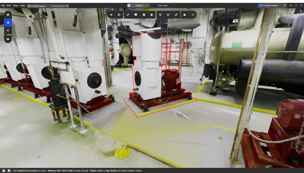
Accurate Cut and Fill Estimates with Drone LiDAR for Greenfield EPC Projects
Improve cut and fill estimates with drone LiDAR and 3D visualization. Prevu3D enables accurate topographic analysis, reducing earthwork costs and project risk.
June 10, 2025
trusted by fast-growing startups and global enterprises