





In short
- A 360 camera is the right tool for scoping, planning, remote reviews, and clearance checks: anything where centimetre-level relative accuracy is enough and speed matters more.
- Laser scanning stays mandatory for anything with a tolerance attached: certified deliverables, fabrication, survey-grade work, anything that needs millimetres.
- The two are not competitors. A quick 360 pass makes the expensive scan count by scoping it first.
- The person who should capture is whoever is already on site.
Why site information still waits on someone traveling
When an engineer needs current site information, the default answer is usually the same: someone travels to the site, or the team waits for a scan to get scheduled.
When we polled the industrial and AEC professionals attending our Expert XChange webinar with Insta360 Enterprise, half of them said exactly that, someone still has to go.
What the wait costs
The cost has been measured, twice, by the same research team.
- Time. When FMI surveyed nearly 600 construction leaders for Autodesk’s Construction Disconnected report, respondents reported spending about 35 percent of their week, roughly 14 hours, on non-productive work, with a large share of it simply hunting for project information.
- Money. The follow-up study, Harnessing the Data Advantage in Construction, put the price of bad or missing data at an estimated 1.85 trillion dollars globally in 2020, including 88.69 billion dollars in rework traced directly to decisions made on poor data.
The mechanism is the same in both studies: decisions get made on stale drawings or memory because current site information is not in the room.
The question behind the question
Jay Ure, Director of Customer Success at Prevu3D, hears a version of this reality capture problem constantly.
The question I hear most often is, what device should we scan with … my answer is another question: what decision are you trying to make? Most days, the best capture tool is the one that’s already on site.
In our most recent Expert XChange session, Jay sat down with Javier Zhang, who leads the Spatial Intelligence vertical at Insta360 Enterprise, to work through exactly when a 360 camera is the right call, and when it isn’t. Here’s what we learned.
What changed: 360 cameras turned site capture into a one-button job
For most of Javier’s six years working with industrial and construction teams, site documentation meant a trained specialist, dedicated equipment, and a calendar slot weeks out. Everyone else on the team waited for the data to come back.
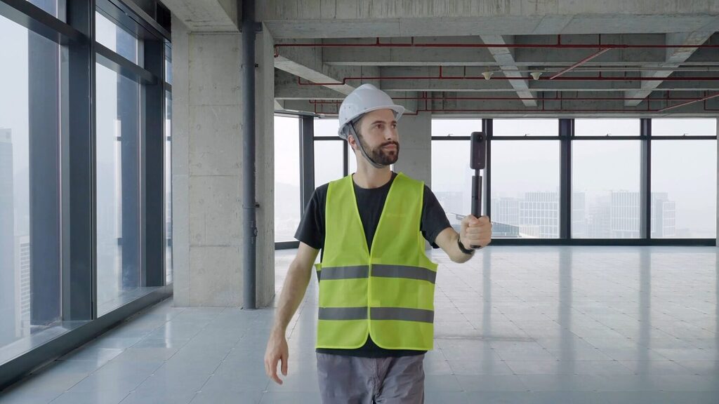
That’s changed. “Today, a site supervisor keeps an Insta360 in their vest pocket, presses one button, and walks their normal route,” Javier explains. “Anyone on site picks this up in minutes, not weeks.”
Why the footage is now enough
What made this workable is the processing side, not just the camera.
A 360 video is a sequence of full spherical frames. Every frame sees the whole space, so a single slow walk gives structure-from-motion algorithms far more overlap than a set of phone photos would.
Since the Insta360 integration in RealityPlatform (May 2026), that footage is reconstructed automatically into four representations from one upload:
- Panoramic imagery for navigation
- A point cloud for spatial reference
- A mesh for surfaces
- A Gaussian splat for photoreal review
The 360 video workflow returns a navigable, georeferenced environment the same day. The specialist is still needed, just not for this step.
The framework: three questions before you capture anything
Once the barrier to capture drops, the real question becomes how to choose. The session boiled it down to three.
1. What decision are you trying to make?
A quick walkthrough is enough for project planning, remote reviews, or figuring out whether equipment will clear a corridor.
- 360 camera: the output is a conversation, a quote, a go/no-go, or a list of questions for the people who will do the precise work.
- Scanner: the output is a drawing someone will build from.
2. What accuracy does the deliverable need?
Certified engineering deliverables, steel fabrication, anything with a tolerance attached, still call for a professional laser scanning or survey workflow, no exceptions.
The accuracy tiers are worth having in your head:
- Terrestrial laser scanner (TLS), tripod-mounted. Typically 2 to 5 millimetres within 10 metres. Scans are registered against control points. The reference tier.
- Handheld SLAM scanner. Trades precision for speed and lands in the centimetre range. Drift grows with trajectory length unless the loop is closed or constrained.
- Point cloud derived from 360 video. Below both. Relative accuracy is scale-dependent and depends on capture quality. Carries no absolute scale or position until aligned to something that does.
That last line is not a flaw, it is the trade. You are buying coverage and speed with precision you did not need for a scoping decision.
The two aren’t in competition. As Javier puts it, “the light capture doesn’t replace the scan, it makes the scan count.”
A quick 360 pass lets a team scope the job, plan access, and prepare questions, so that when a scanning crew does arrive, every minute of their time gets spent where it actually matters. In the Construction Disconnected data, poor project data and miscommunication accounted for 48 percent of all rework on US jobsites. A scan crew arriving without a scoped plan, missing a room, and coming back is a small, expensive example of the same failure.
3. Who’s holding the camera?
The last piece is simply who’s available to do the capturing, and this is where the barrier drop matters most. It’s no longer a specialist’s job. It’s whoever happens to be on site that day.
That changes the capture cadence too. A site that was scanned once a year can be walked once a week, which is the difference between a snapshot and a record.
What a 360 camera actually has to handle on a job site
None of this works if the camera can’t survive an actual job site, so the session spent real time on what the Insta360 X-series is built for.
The setup
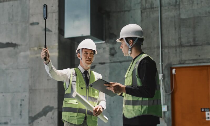
Mount the camera on a stick, set it to Timelapse 360 mode, and walk.
Timelapse mode captures full-resolution spherical frames at a fixed interval rather than continuous video. Individual frames stay sharp and file sizes stay manageable, both of which help reconstruction.
What matters more is what happens to that footage in the field, climbing stairs, ducking under scaffolding, moving through inconsistent lighting, without the capture falling apart.
Five habits that separate a usable capture from a frustrating one
- Walk slowly and steadily. Reconstruction needs consecutive frames to overlap heavily.
- Close loops. Return to where you started so the algorithm can correct accumulated drift.
- Hold the camera above head height. Less of you ends up in the data.
- Wipe both lenses before every walk. A smudge on a fisheye lens smears across a large share of the sphere.
- Avoid walking from bright sun into deep shadow mid-capture. Auto-exposure swings make consecutive frames hard to match.
None of this requires training. It requires someone telling the supervisor once.
Where it does not hold up
Javier was equally candid about the limits. Low light remains the main limitation, and reflective surfaces or genuinely hazardous areas still call for a trained operator and proper scanning equipment.
- Low light hurts for a specific reason: small sensors need longer exposures, longer exposures blur a moving camera, and blurred frames give feature-matching algorithms little to lock onto.
- Reflective and transparent surfaces defeat cameras and scanners alike, but a scanner operator knows to work around them.
- Hazardous areas are a people question, not a sensor question. Send the trained operator.
In 2026 Insta360 released the X6, built around two custom 1/1.1 inch sensors recording 8K spherical video, which directly targets the low-light ceiling. It is priced at 699 US dollars, a different order of magnitude from a scanner, which is why the framework can assume a camera is already on site and a scanner is not.
3D Gaussian Splatting: a visualization layer, not a measurement tool
The conversation also touched on 3D Gaussian Splatting, the increasingly visible reconstruction technique that’s been showing up across social media.
What a splat is
The method comes from a 2023 SIGGRAPH paper by Kerbl, Kopanas, Leimkühler and Drettakis at Inria.
Instead of building surfaces, it represents a scene as millions of small, oriented, semi-transparent Gaussians. Their position, shape, colour, and opacity are optimized until they reproduce the input images from every known camera angle. The result renders at 1080p in real time and looks photographic where a mesh would look faceted.
Insta360 footage can feed directly into a Gaussian splat, and the appeal is obvious once you see one: near-photorealistic reconstructions, built faster than a traditional mesh.
Where it stops
“Today, a splat is mainly a visualization tool,” Javier says. “It doesn’t provide the precise, measurable geometry of a point cloud or mesh.”
Two reasons that is true:
- A splat has no explicit surface to snap a measurement to.
- Its geometry can be locally wrong in ways that still look right from the training viewpoints. Reflections, thin structures, and untextured surfaces are the usual culprits.
Where it lives
Jay’s addition matters here too: Prevu3D’s RealityPlatform now holds splats as a standalone layer alongside meshes and point clouds in the same environment, so a team can pick whichever representation fits the task without spinning up a separate project to do it.
The practical pattern:
- Review and communicate in the splat
- Measure in the point cloud
- Model against the mesh
Two customers, two very different scales
Two customer stories anchored the session, and they make the case for the 360 camera vs laser scanner framework better than any framework could on its own.
Topo3D: the walkthrough before the quote
Topo3D, a Montreal-based surveying and 3D scanning provider, uses a 360 walkthrough before they ever quote a scanning job, capturing general site conditions and visuals before they prepare a proposal.
For a scanning firm, the walkthrough answers the questions a quote depends on:
- How many setups
- What access constraints
- Which areas need TLS and which can be SLAM
- Whether anything on site will complicate registration
As Jay put it, “that’s the framework working as a business model. The light capture makes the scan count.” It is the same thinking Topo3D brought to an earlier session on turning point clouds into client value.
Deutsche Bahn (DB Systel): hundreds of stations, no specialist bottleneck
Deutsche Bahn operates one of Europe’s largest infrastructure networks, with thousands of stations to maintain. Documenting hundreds of small rail stations with LiDAR alone would have spread specialist time impossibly thin.
Their answer was to build the documentation process around affordable 360 cameras, letting staff with no 3D background capture and share models on their own. Each spatial asset links back to the operational metadata their maintenance teams already rely on, including SAP PM integration.
Maintenance, cleaning, and safety teams now locate equipment and take measurements remotely before anyone is dispatched. The accuracy needed to decide whether a job needs scaffolding or a lift is centimetres, not millimetres, which is exactly the tier a 360 camera delivers.
Same underlying logic, two completely different scales: match the method to the task in front of you, not a standard you apply everywhere.
Live Q&A: Aligning 360 Camera Footage with LiDAR, GPS Data, and Manhole Scanning
Can you combine 360 camera footage with LiDAR in the same space?
Yes. Jay confirmed the two can be aligned together inside Prevu3D’s RealityComposer tool, which combines scans from multiple sessions, devices, and locations into one environment, regardless of whether the scan data comes from SLAM, terrestrial laser scanning (TLS), or a drone.
How it works:
- Alignment matches common points between datasets.
- The LiDAR scan supplies the absolute scale and position the 360 capture lacks.
- The 360 capture supplies the visual context and coverage the scan may not have.
- Once aligned, both live in the same coordinate system and can be layered, compared, or toggled.
Do Insta360 cameras record GPS data like scanning equipment does?
Not natively. Location data can come through connected accessories or a paired phone.
Two caveats worth knowing:
- Consumer GNSS is accurate to metres, not centimetres. Even where it is available, it positions the capture roughly rather than georeferencing it.
- It does not work indoors, which is where most industrial capture happens.
For anything that needs a real coordinate system, the practical route is the one above: align the 360 data to a scan or to surveyed control points.
Can a 360 camera replace inverted tripod scanning for manholes and confined structures?
For scoping capture, yes, provided you plan for the minimum recording length. If the deliverable needs to be survey-grade, that’s still a job for dedicated scanning equipment.
Why the minimum length matters: reconstruction needs enough frames with enough parallax between them to solve camera positions. A two-second dip into a chamber gives the algorithm almost nothing to triangulate.
A capture sequence that works:
- Lower the camera slowly.
- Rotate it at the bottom and hold.
- Bring it back up along a slightly different path.
That produces a capture good enough to see condition, count inlets, and decide whether the crew needs to come at all.
Putting the 360 Camera vs Laser Scanner Framework to Work on Monday
None of this argues against laser scanning. It argues against letting the absence of a scheduled scan become the reason a decision sits and waits.
The framework, turned into practice:
- Classify the request before choosing the tool. Write down the decision the site information serves.
- Plan, quote, clearance check, remote review, question list: 360 camera.
- Fabrication, certified as-built, anything with a tolerance: scanner.
- Both: two captures, and the 360 one goes first.
- Set an accuracy expectation and state it on the data. Label 360-derived environments as scoping-grade so nobody measures a bolt pattern off one. Label scans with their registration accuracy. Most misuse of reality data is a labelling failure, not a capture failure.
- Make the 360 walkthrough a precondition for commissioning a scan. Scope setups, access, priority zones, and hazards from the walkthrough. Hand that to the crew. Their day goes into geometry instead of orientation.
- Put the capture habit where the work is. One camera per site, one person told the five capture habits above, one standing instruction: walk it when something changes. Weekly walkthroughs turn a snapshot into a record.
- Keep every representation in one coordinate system. Align 360 captures to whatever scan exists so scale and position are inherited. Then review in the splat, measure in the point cloud, model against the mesh.
- Measure the wait. Track the time between “we need to see the site” and “we saw it” for a month. That interval is what this framework is designed to shrink, and it is the number that tells you whether it is working.
For the full workflow, the live demo, and the audience Q&A that shaped this article, watch the Expert XChange session Reduce Time-to-Decision with Faster Site Digitization.