
Point Cloud to 3D Mesh Conversion
Turn heavy Point Cloud into light detailed 3D mesh
RealityPlatform™ allows teams to automatically convert point clouds into detailed 3D meshes, reduce file sizes without losing quality, and gain richer visual insights for better understanding.
- Upload registered E57 or LAS point clouds from any scanner, terrestrial, SLAM, drone or 360 video.
- Meshing runs in the cloud: roughly two hours for a 100 GB scan, about a day for a full terabyte.
- The mesh is typically 80 to 90% smaller than the point cloud and keeps its georeferencing.
- Stream it into the tool you already model in, or export OBJ, FBX, JT, USD or RCP.
- Keep the point cloud for tolerance work. The mesh is for everyone else.
Up to 90%
Lighter files
~2 hours
To mesh a 100 GB scan
Any scanner
Device-agnostic input
Point cloud to mesh export formats, matched to the tool that opens them
Native plugins enable 3D Mesh integration with industry-leading modeling and simulation softwares.
1. Register, then export an E57 from your scanner software
- Alignment between stations happens in the scanner vendor’s own tool (Leica Cyclone, FARO SCENE and similar). RealityPlatform™ starts from the registered result.
- Export to E57, the vendor-neutral format (ASTM E2807) that carries points, images and metadata together. LAS works too.
- Field habit: export one E57 per station when your software allows it.
- Structured, per-station files keep the scan geometry the mesher uses to compute surface normals. Flattened, unstructured exports are the usual cause of holes in a mesh.
2. Upload reality capture and choose your device profile
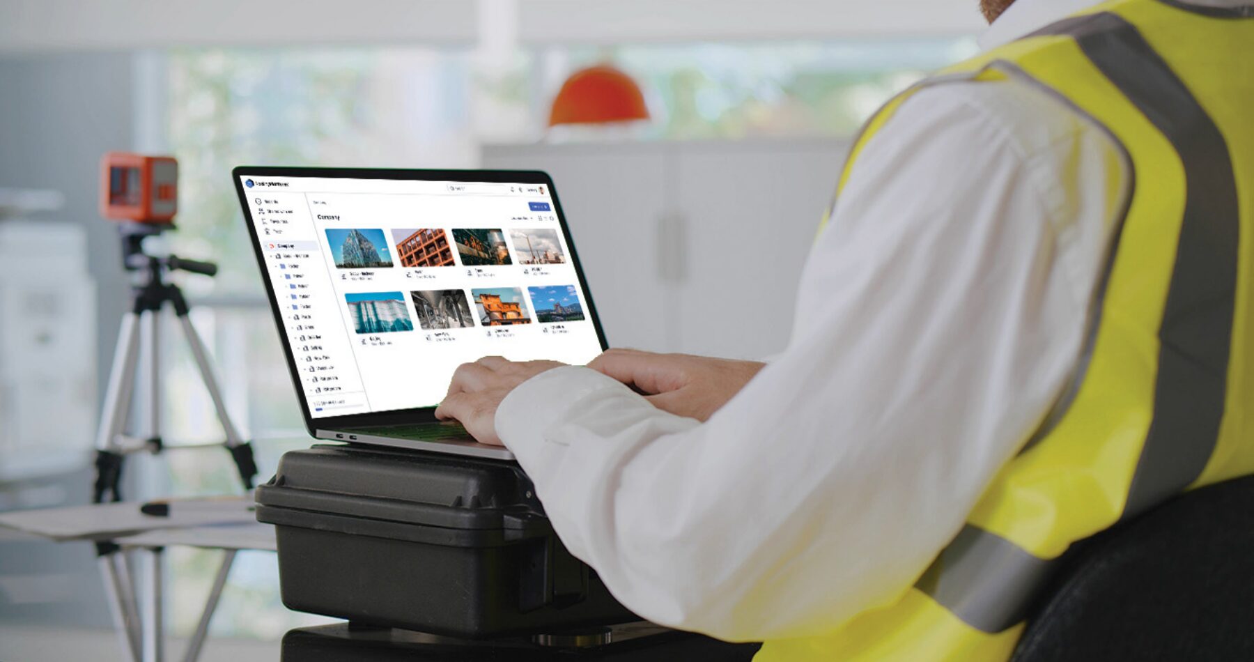
- Pick the scanner type at upload, so the pipeline asks only for what that device produces (trajectories for SLAM, scalar fields where they matter).
- Combine sources in one site: a terrestrial scan of the mechanical room, a SLAM pass of the production floor, a drone flight of the roof.

3. Let the meshing engine do the boring part
- Point cloud meshing runs on Prevu3D’s own engine, built in house, on cloud compute. Your laptop is not invited.
- Typical timing: a 100 GB point cloud in a couple of hours, a 1 TB point cloud in about 24 hours.
- The result is tiled with multiple levels of detail, so a browser streams what you are looking at instead of loading the whole site.
4. Stream, crop or export the 3D Mesh
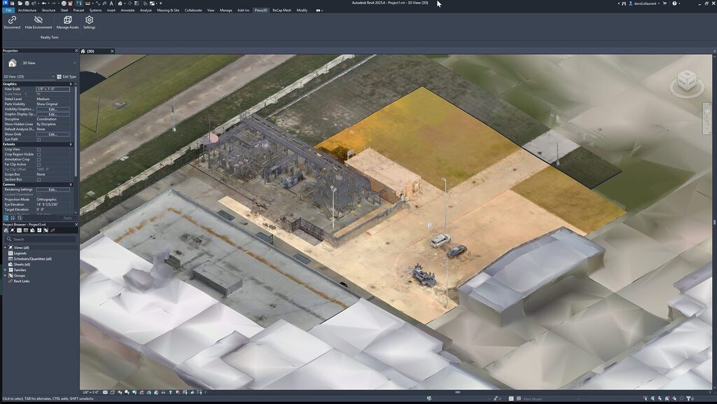
- Stream the mesh live into Revit, Inventor, Siemens NX, Plant Simulation, AutoCAD Plant 3D and Omniverse through the RealityConnect plugins.
- Crop a region of the point cloud and mesh only that, when the project is one production line and not the whole plant.
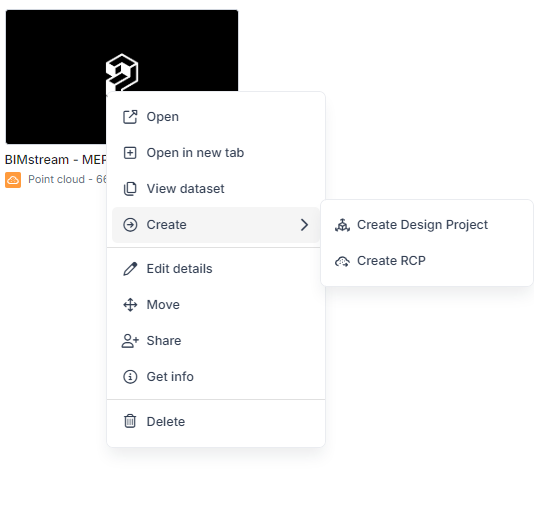
- Export RCP files from the point cloud card for CAD tools that still want points.
- Export meshes as OBJ, FBX, JT, USD, or OGC 3D Tiles for Unreal, Unity and other third-party engines.
Point Cloud to Mesh Conversion — FAQs
How do I convert a point cloud to a mesh?
Register your scans in your scanner software, export an E57, upload it to RealityPlatform and start mesh processing. The finished mesh streams into your CAD or BIM tool through a plugin or downloads as OBJ, FBX, JT or USD.
Can I convert a point cloud to a mesh online?
Yes. Processing runs on Prevu3D’s cloud compute and the result opens in a web browser, so you do not need a workstation sized for the raw scan.
What point cloud formats can I upload?
E57 and LAS, plus other open formats. Proprietary scanner formats should be exported to E57 after registration.
How much smaller is a mesh than a point cloud?
Typically 80 to 90% smaller. A 1 TB point cloud usually becomes a mesh of about 100 GB. The exact ratio depends on scan density and the quality level chosen.
Is a 3D mesh accurate enough for engineering?
For layout, clearance checks, simulation context and modeling reference, yes: the mesh keeps the scan’s georeferencing. For millimetre tolerances and small round MEP elements, work from the point cloud, which stays available on the platform.
Does Prevu3D offer point cloud to mesh services?
Prevu3D is software, not an on-site scanning service. Our scanning and surveying partners capture the site; RealityPlatform turns their deliverable into a mesh your team can use.
When you put it into 3D, it’s like walking around in a video game—a geographically accurate representation of a space. You can understand what’s going on a lot easier than flying through a point cloud.

7-days targeted mesh, delivered in a week. $50K off the bill.
WSP's reality capture team covers energy, substations, and manufacturing across the southeastern US. With Prevu3D, what once meant a $50K modeling project now ships as a targeted mesh deliverable in 7 working days.
Read the success storyTurn reality capture into a single as-built source of truth of your environment, manage reality data with AI-powered engineering tools, right into RealityPlatform™.
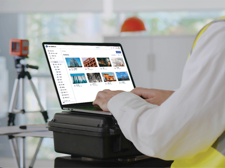
Host and Stream Reality Capture Data
Store, host, and manage any reality capture data in RealityPlatform™, the as-built source of truth of your site, instantly available…
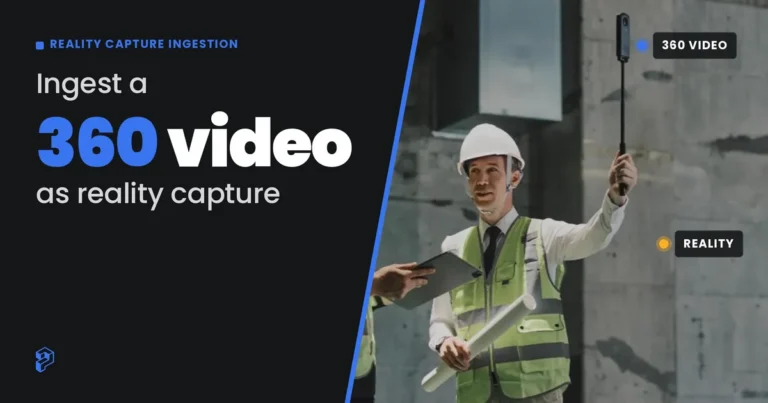
360 Video Reality Capture Ingestion
Capture any site with a standard 360 camera and ingest the video into RealityPlatform™ for same-day processing. No 3D scan…

Unify up-to-date model from 3D scan data
Unify up-to-date model from 3D scans with Compose for accurate, real-time facility visualization in RealityPlatform

Combine Advanced 3D Scan Visualization
Combine Advanced 3D scan visualization: point clouds, panoramic images, 3D Mesh models, and Gaussian Splats in RealityPlatform™.

Integrate with Enterprise systems of record
Integrate with ERP, MES, CMMS, and IIoT systems. Connect visual assets to enterprise records to make 3D data actionable across…

Enterprise Access and Security Tools
Enterprise access and security tools in RealityPlatform™ keep your reality capture data protected, permissioned and easy to share across sites.

Visual Asset Management with Semantic Layer
Visual asset management with semantic layers, thanks to RealityAssets™ feature. Tag equipment, manage metadata, and maintain asset context.

Layout Design
Layout Design in a single 3D as-built environment thanks to RealityPlan Digital Twin Software.
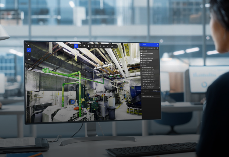
Visually compare CAD or BIM Models
Visually compare your CAD or BIM models against your 3D scan, in RealityPlatform™. Set your own tolerance and see exactly…
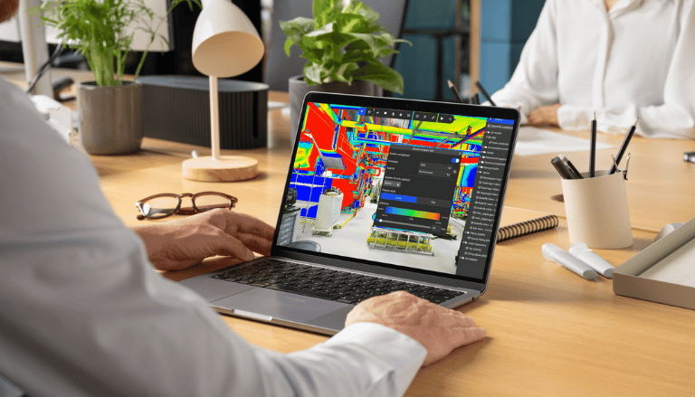
Clash Detection Tool
Detect clashes against your actual as-built scan, not just other models. Set tolerance, visualize deviations, and confirm fit before you…