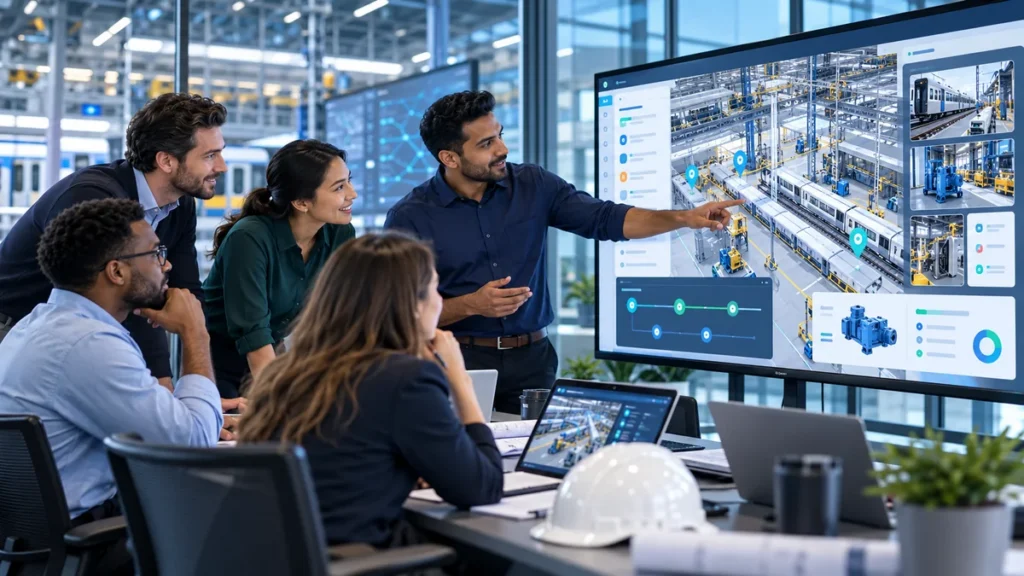

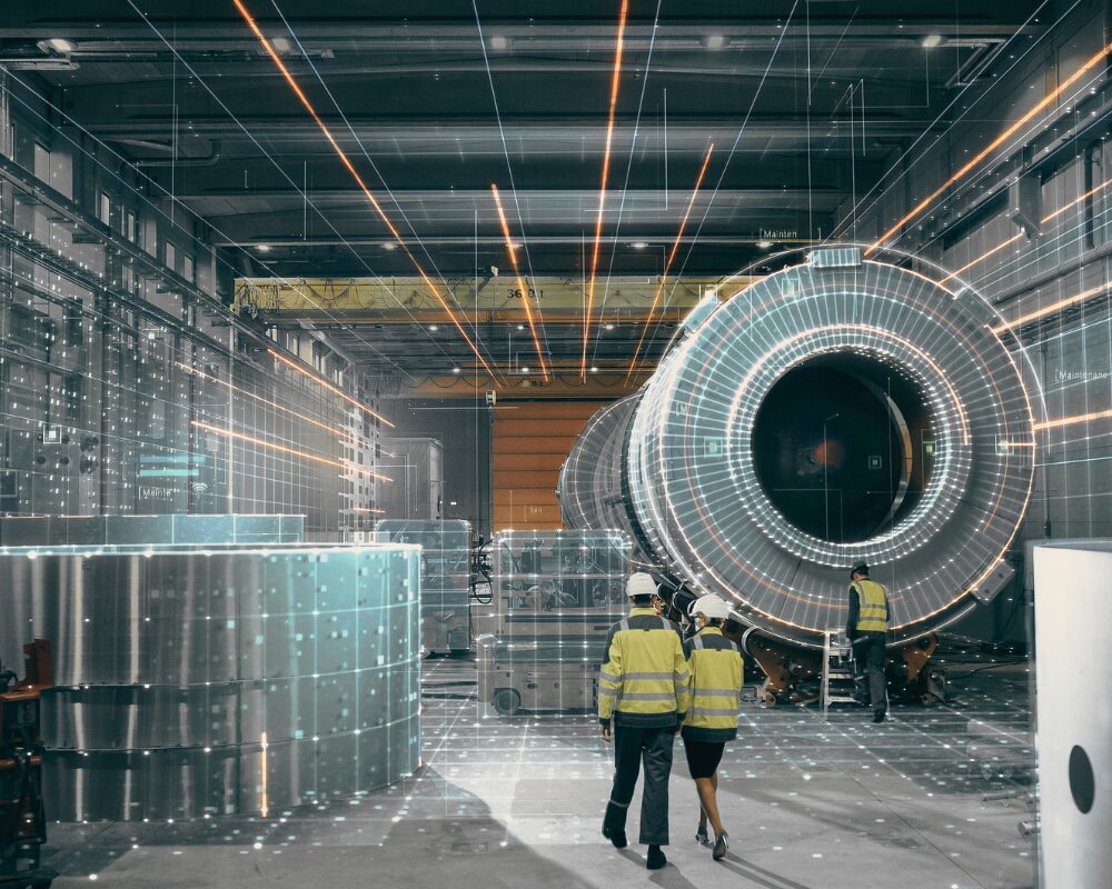
AI has become the primary interface through which people access enterprise knowledge. This shift reveals the enterprise reality layer. Ask a question about a document, a maintenance record, or a production schedule. But one of the largest sources of the enterprise reality layer is still missing from that picture: the physical world.
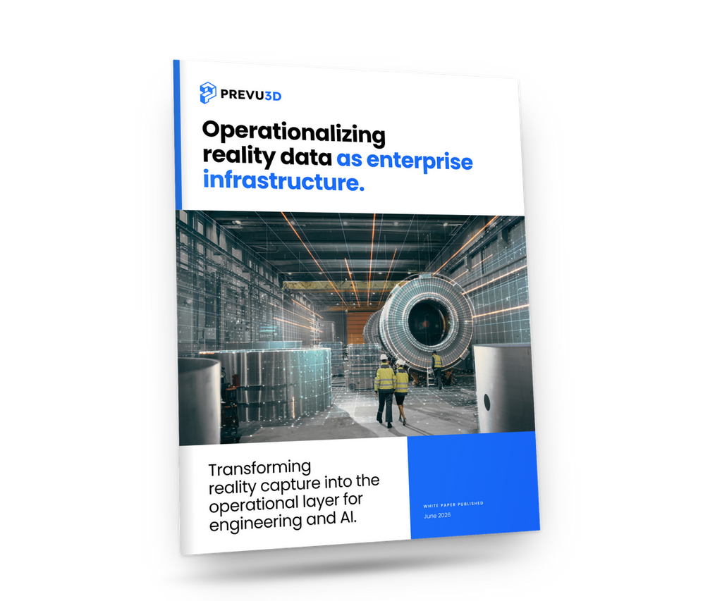
Read the complete white paper, Operationalizing Reality Data: The Enterprise Reality Layer, to see how industrial organizations are turning captured reality data into continuously usable enterprise knowledge.
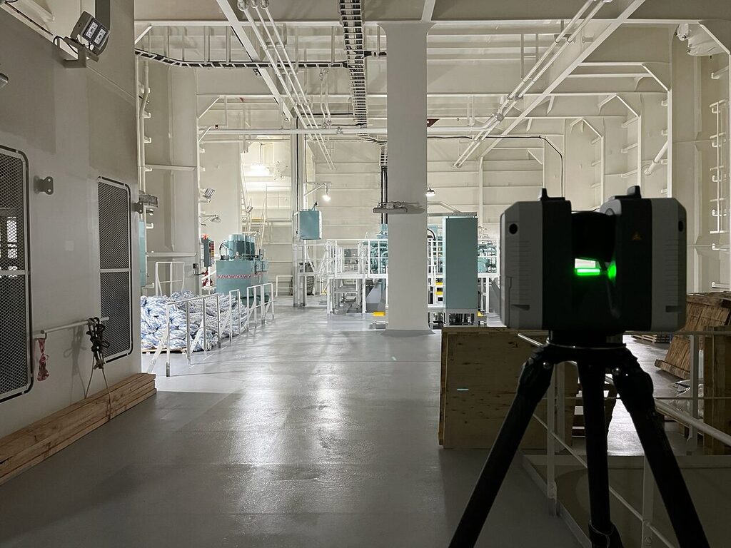
Reality capture has largely solved the problems of speed and accessibility. Laser scanners, SLAM devices, drones, and 360 cameras can capture a facility in hours, not weeks.
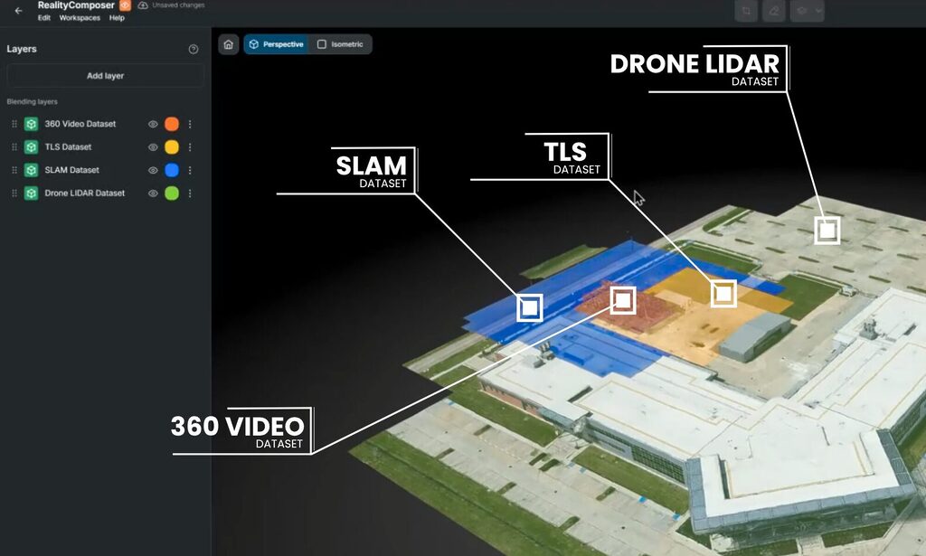
Reality data is still captured once, used once, and archived. It becomes a project deliverable rather than a source of enterprise knowledge.
The paper introduces the Enterprise Reality Layer. It provides an operational foundation where reality data is treated as living infrastructure. This data is continually structured and connected to engineering, operations, and AI systems already run by industrial organizations. The organizations moving first won’t be the ones with the most sophisticated scans, but rather the ones building a record the rest of the business can actually rely on.
The Reality Gap: Why Facility Management and Digital Twin Platforms Fall Behind
Every industrial decision happens in a real facility. Equipment gets installed, modified, and replaced. Production lines evolve. Yet the systems used to manage all of this (engineering models, maintenance records, ERP platforms) routinely describe a version of the facility that no longer exists.
Increasingly, those are also the systems AI is trained to reason over, inheriting the same blind spot people have been working around for years.
Engineering teams discover undocumented changes during design, and capital projects absorb rework when assumptions no longer match current conditions.
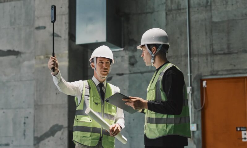
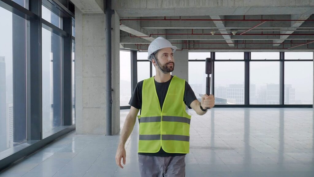
The irony is that most organizations have more reality data than ever before. Terrestrial laser scanning, SLAM, drones, 360° cameras, like Insta360, have made capture faster and cheaper than at any point in the industry’s history. But that data typically follows a familiar pattern: a facility gets scanned for one project, the output answers that project’s questions, and it’s archived. The cycle repeats when the next project starts, often with a brand-new scan.
That project-centrist model made sense when capture was expensive and rare. It stops making sense once reality data becomes abundant. The next phase of industrial digital transformation won’t be defined by capturing more. It will be defined by making what’s already captured continuously available to the people, systems, and AI that depend on it.
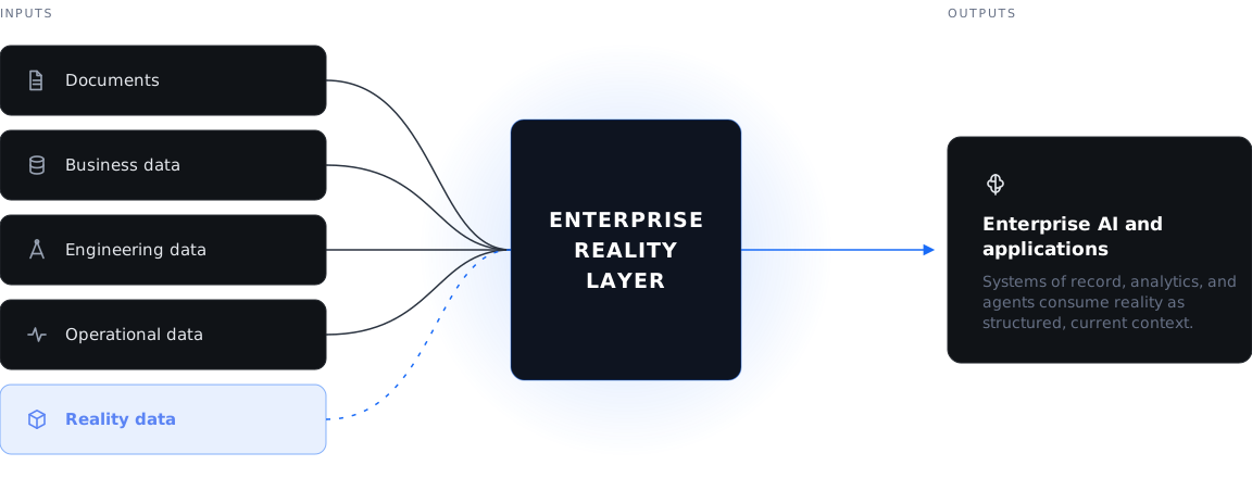
Why Reality Capture is key in AI-first digital transformation AI can already reason across engineering data, ERP, maintenance records, and IoT feeds. What it still can’t do is see. It has no way to perceive the actual physical conditions of a facility: conditions that were never captured in CAD, never updated in the system of record, and in many cases never documented at all. Without a connected reality layer, AI isn’t just missing recent changes. It’s reasoning over a facility it has never actually seen. Fluent everywhere except the one place all of this work actually happens. |
Turning Point Cloud and Mesh Data into Structured Reality Data
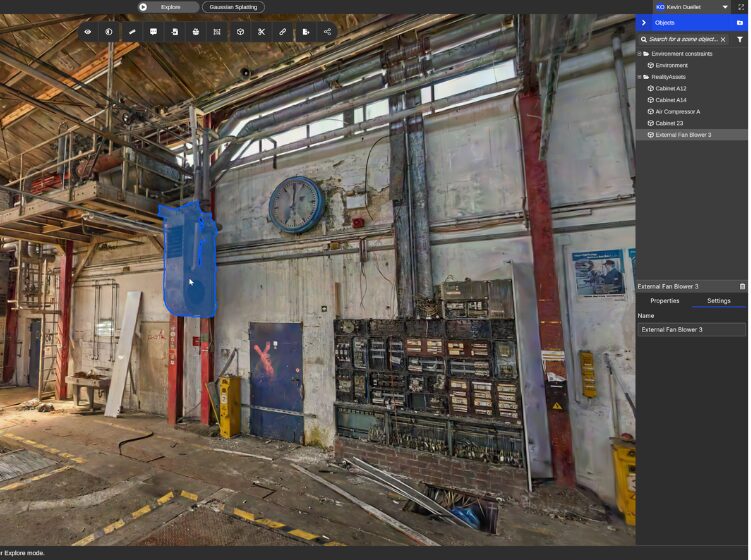
A point cloud can’t answer a question. A mesh doesn’t know what it represents. Even a photo realistic Gaussian Splat is, at its core, a visual reconstruction: accurate at geometry, blind to meaning. It doesn’t know which object is a pump, which is under maintenance, or which is scheduled for replacement.
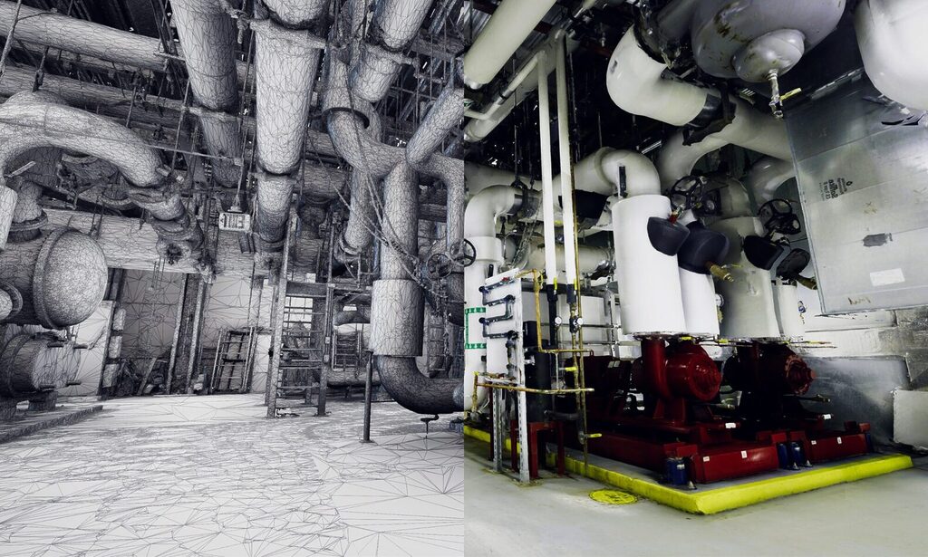
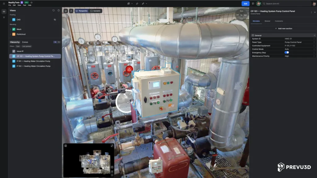
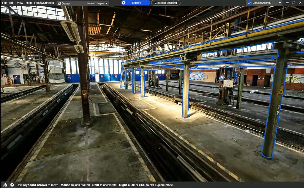
For reality data to become useful beyond the project that captured it, it has to cross a line: from raw geometry to structured information. That means identifying the physical objects inside a captured environment (equipment, structures, utilities) as persistent, tagged assets rather than an anonymous field of points. Once an asset exists as a defined object, it can carry metadata, connect to enterprise systems, and be tracked through its own life cycle.
This is the difference between navigating a scan and querying a facility. Engineers stop hunting through point clouds for the pump they need; they search for the asset. Maintenance teams get operational context the moment they locate a piece of equipment, rather than a shape they have to interpret. And the same structure that helps a person also gives AI something to reason over: named objects with locations, relationships, and history, not an undifferentiated field of geometry it has to interpret from scratch.
Getting there takes more than capture. It requires registering multiple datasets into a common coordinate system, cleaning artifacts, and classifying assets to a consistent standard.
This work is usually treated as post-processing, but in practice it’s the stage where most of the value of an Enterprise Reality Layer program gets made or lost.
Converting a point cloud to mesh or point cloud to a 3D model is only the first step. The real value comes from asset classification and reality data management.
Read the complete white paper, Operationalizing Reality Data: The Enterprise Reality Layer, to see how industrial organizations are turning captured reality data into continuously usable enterprise knowledge.
Using Reality Data Changes the Economics One substation retrofit needed two replacement transformers. Modeled in full, it would have been a $40,000–$50,000 deliverable. By identifying only the assets the engineering team actually needed and leaving the rest as-built mesh models right inside their CAD design tools, The engineering department drastically cut down the reverse modeling needed and delivered a usable model in 7 working days for under $10,000, saving also weeks of wait time. |
The Enterprise Reality Layer: Capture. Manage. Connect.
Once reality data is treated as structured, ongoing infrastructure rather than a one-off deliverable, it needs an operational model to run on. That model rests on three connected capabilities.
1. Capture: Vendor-Neutral by Design
No single capture technology fits every situation, and organizations shouldn’t have to standardize on one hardware device to get value from their data. Terrestrial LiDAR delivers the millimeter precision detailed engineering requires.
SLAM and 360° video move fast enough to capture a facility during normal operations. Drones reach what’s otherwise inaccessible. Generating Gaussian Splats visualization also turns a short walk-through into a photo realistic immersive environment.
The Enterprise Reality Layer doesn’t ask which of these is “correct.” It ingests all of them, normalizes the output, and lets a project start with a rapid 360° pass for early feasibility, add a SLAM scan for scope work, and layer in TLS for detailed engineering. All of it registers to the same coordinate system, contributing to the same combined environment.
2. Manage: Where all Reality Data Compounds
This is where raw capture becomes an operational asset: datasets are registered, cleaned, segmented into objects, and classified. It’s also where all the captured reality data accumulates rather than resets or kept in silo and dedicated applications. Every new scan validates, updates, or adds to what already exists instead of starting over.
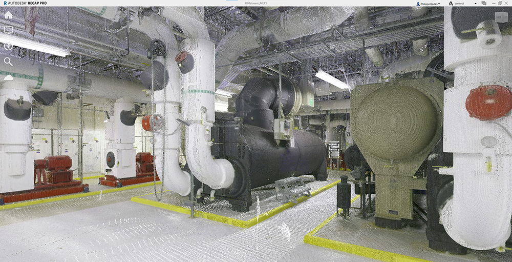
A facility captured once and left untouched degrades in accuracy with every undocumented change; a facility whose record is continuously managed gets more valuable, and more trustworthy, with each cycle.
60 Hours to 2 – Drastically accelerating time to decisions Reconstructing a damaged reservoir wall from scratch in Revit was estimated at 60 hours of manual modeling, with no existing base model to work from. Seamlessly bringing Reality Data into Revit cut that to 2 hours as most of the CAD modeling was no longer required, a 97% reduction, without sacrificing the precision the structural assessment required. |
3. Connect: Delivered Wherever It Matters
A structured record only has value if it reaches the people and systems making decisions. That means delivering Reality Data right inside your design, engineering, simulation, maintenance, and operational systems.
So increasingly, it also means AI. Today’s AI systems are fluent with documents and databases. They remain blind to the physical world because they lack a source of visual intelligence to draw on.
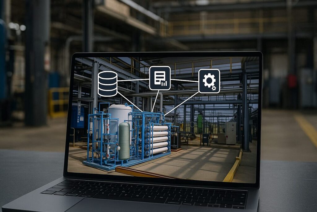
A structured, connected reality record transforms how we view the facility. It gives AI real eyes on the facility and reveals asset details. Thus, it also decides whether a proposed modification will fit. An unstructured scan cannot provide it.
Reality Data must be treated as a true input to AI’s intelligence, not only a reference document. It becomes possible only once reality has been organized the way the rest of the enterprise already is.
A Reality Data Management Platform That Compounds Over Time
The organizations pulling ahead in reality capture are not the ones running the most sophisticated scanners. They stopped counting capture as a project cost. Now, capture is viewed as a record that compounds over time. Each cycle of capture, structuring, and connection makes it more complete, current, and useful.
That shift changes what “return on investment” means for reality data. A scan commissioned for one project used to be judged by that project alone. A structured, connected record keeps paying: informing the next design, the next maintenance call, the next AI-driven query, long after the original reason for capturing it has been forgotten.
The gap left in enterprise digital transformation was never a lack of data. Instead, it was the absence of a layer linking the physical world It connected the organization to what it already knows Reality capture solved acquisition. The Enterprise Reality Layer turns that capture into continuously usable enterprise knowledge.
Read the complete white paper, Operationalizing Reality Data: The Enterprise Reality Layer, to see how industrial organizations are turning captured reality data into continuously usable enterprise knowledge.