
What Happens When AI Understands Reality?
Watch Now
white papers

360° Video Reality Capture Guide for RealityPlatform™

About: 360° video capture, camera settings, walking patterns, overlap and loop closure, field checklists, reality capture workflow, RealityPlatform™

Ideal for: Field and capture teams, site and facility managers, operations and maintenance teams, engineers, reality capture professionals, digital twin specialists

A 360° camera is one of the fastest ways to capture a site, but most failed captures go wrong before anyone presses record. Wrong settings, gaps in coverage and open-ended walks lead to drift, missing areas and costly return trips.

This field-tested guide shows your team exactly how to capture 360° walkthroughs that RealityPlatform™ turns into reliable, navigable 3D, first time. It’s three pages, built to be printed and taken on site.

Download 360° Video Reality Capture Guide for RealityPlatform™ White Paper


— DIGITAL TWIN WHITE PAPERS

Digital Twin Operations, Explained by Reality Capture Experts.

Industrial Factory Scene with a Large Cylindrical Machine and Three Workers in High visibility Vests Inspecting It Prevu3d
White paper

Operationalizing Reality Data: Building the Enterprise Reality Layer

Download PDF
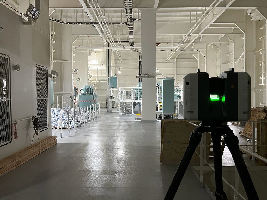
Lidar Scanner Capturing Interior Vessel Data Inside an Engine Room for Digital Twin Creation Prevu3d
White paper

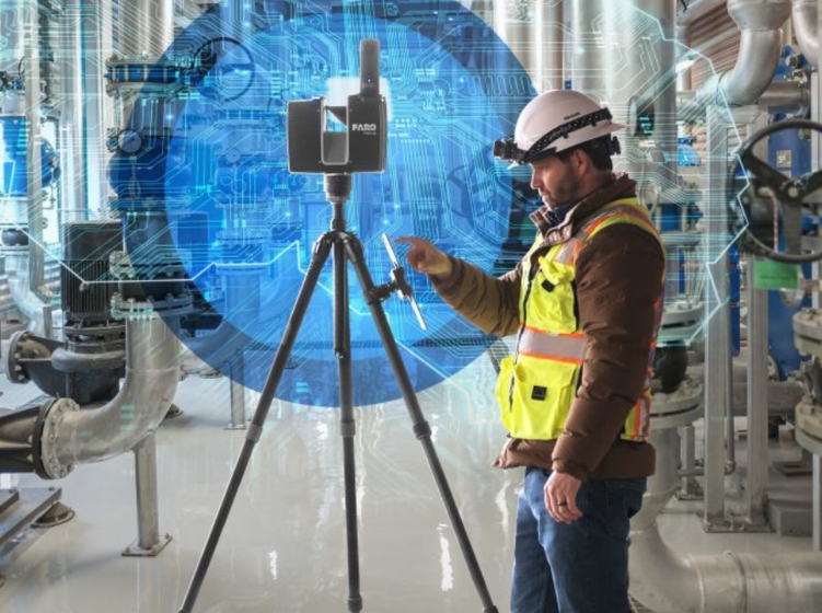
Laser Scanning with purpose: Maximize Reality Capture Process

Download PDF
Prevu3d
White paper

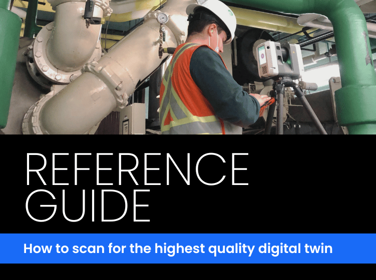
How to scan for the highest quality digital twin

Download PDF
Select How to Scan for the Highest Quality Digital Twin How to Scan for the Highest Quality Digital Twin Prevu3d
White paper

How to Plan, Scan & Deliver High-Quality Reality

Download PDF

Book a walkthrough and we'll turn one of your reality captures into a live demo.

Unlock tailored pricing aligned with your operational reality.


Infographic Showing a 3d Rooftop Map with Labeled Datasets Slam Tls Drone Lidar and 360 Video Connected by White Lines Prevu3d
Gaussian Splats and LiDAR: Review in the Splat, Measure in the Point Cloud
Learn more