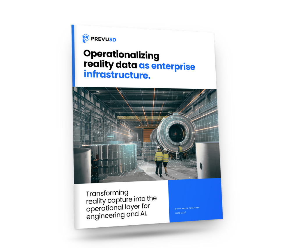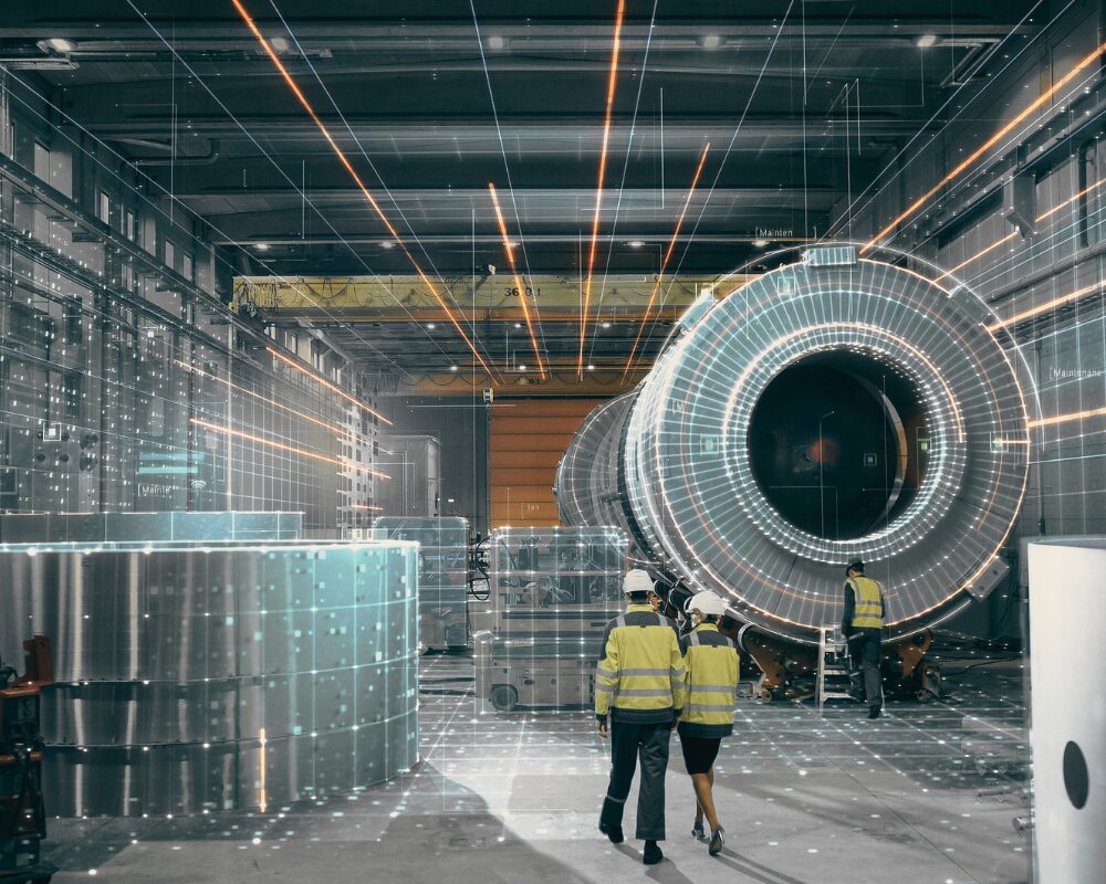

For most industrial teams, reality capture stopped being the hard part years ago.
Point clouds, meshes, and 360° walkthroughs get generated constantly — during a facility scan, a compliance audit, a construction milestone. The bottleneck now is what happens after capture: a heavy file gets emailed around, opened in a desktop viewer by the one person who has the software installed, and then quietly goes stale until the next site visit forces a rescan.
Cloud 3D visualization exists to close that gap. Instead of treating a 3D scan as a file to be passed around, it treats it as a hosted, continuously accessible asset — one that any authorized person can open, measure, and act on from a browser, with no specialized software and no local hardware capable of rendering millions of points. This is the core idea behind RealityPlatform™.
What Is Cloud 3D Visualization? A Browser-Based Reality Capture Platform, Explained
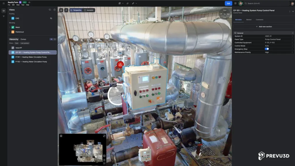
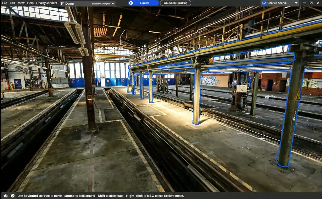
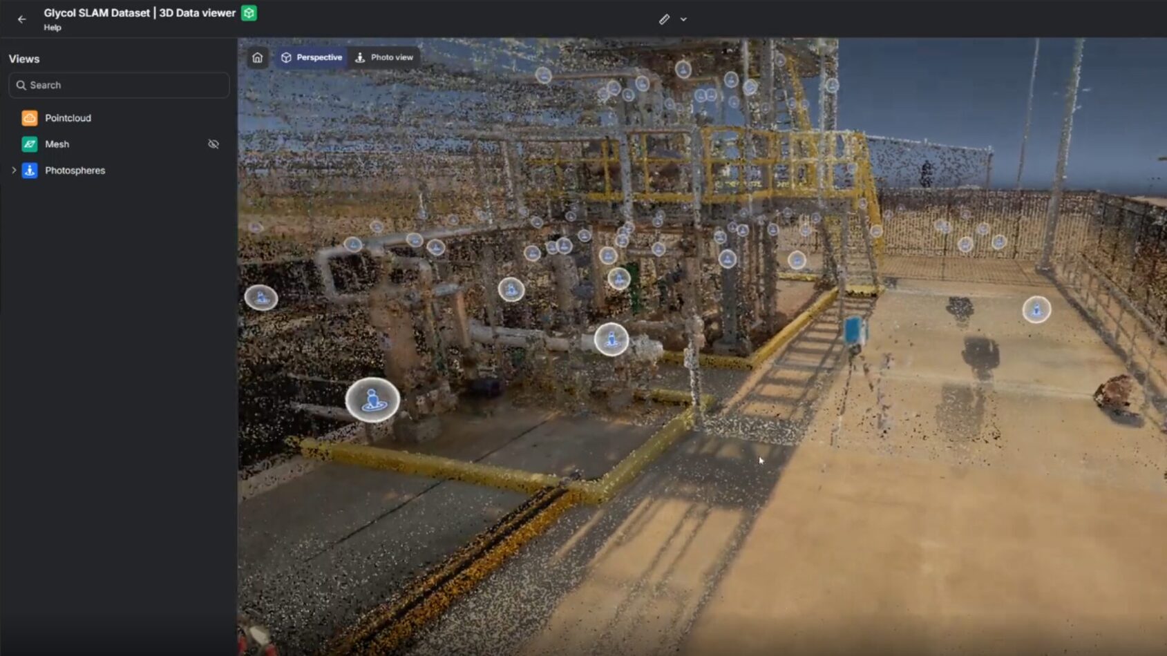
Cloud 3D visualization is the practice of hosting, processing, and rendering 3D spatial data — point clouds, meshes, gaussian splats, 360° imagery — on remote servers and streaming it to the end user through a standard web browser. The heavy lifting (decompression, mesh conversion, level-of-detail streaming) happens off the user’s device. What arrives on screen is a smooth, navigable 3D environment, whether the viewer is on a workstation, a laptop, or a tablet in the field.
This is distinct from simply “storing 3D files in the cloud.” A shared drive full of .e57 or .rcp files is cloud storage. Cloud 3D visualization is cloud compute plus delivery — the platform converts raw capture data into a format built for streaming, then serves it on demand, the same way a video platform streams a film instead of making you download the whole thing first.
How Cloud-Based 3D Visualization Works: From Point Cloud to Mesh
A cloud 3D visualization platform typically follows four stages:
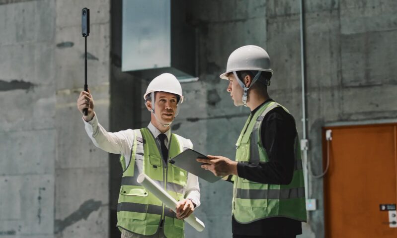
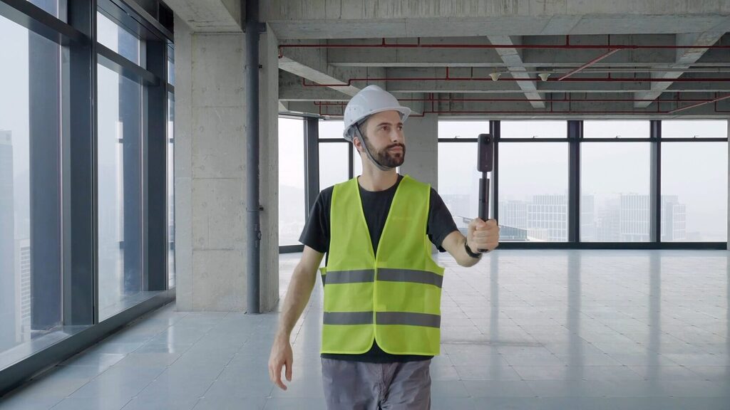
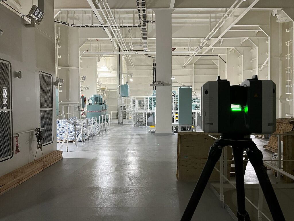
1. Ingest. Raw capture data comes in from laser scanners, drones, or even a consumer-grade 360° camera. Modern platforms accept a wide range of source formats rather than locking teams into one capture method, even when the source data is unstructured or inconsistent.
2. Process (point cloud to mesh conversion). This is where the platform earns its value. Point clouds are converted into optimized 3D meshes — often shrinking file sizes by up to 95% — while preserving the measurements and spatial accuracy engineers depend on. Multiple capture types (terrestrial LiDAR, drone photogrammetry, 360° video, gaussian splats) can be merged into a single, spatially aligned, unified environment rather than existing as separate, disconnected files.
3. Host & stream. The processed environment lives on enterprise cloud infrastructure and streams progressively — loading detail as the viewer navigates closer, rather than forcing a full download before anything renders. This is what makes it possible to open a multi-gigabyte facility scan on a browser tab in seconds.
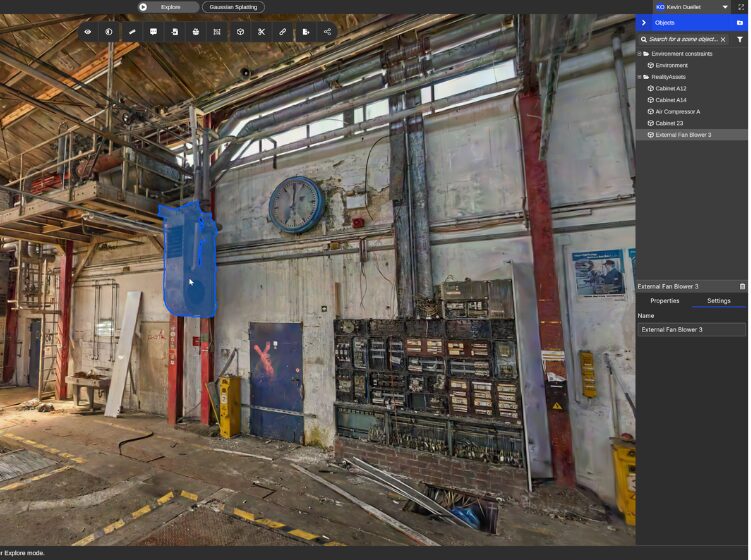
4. Interact. Once loaded, the environment isn’t just something to look at. Users can measure distances and volumes, tag and annotate equipment, compare as-built conditions against CAD or BIM models, and — in more advanced platforms — connect the visual layer to operational systems like SAP or CMMS so that asset metadata stays synchronized with reality.
Why Enterprise Teams Are Moving Off Desktop 3D Software
Desktop 3D viewers aren’t going away, but for most day-to-day operational use, they’ve become the wrong tool. A few reasons why:
- Accessibility. Desktop viewers require installation, licensing, and often a workstation-grade GPU to handle large point clouds without stuttering. A browser-based platform removes all three barriers — anyone with a login and an internet connection can open the model, including non-technical staff who would never touch specialized scanning software.
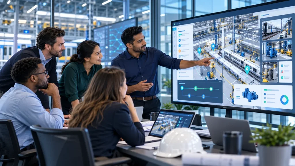
- Collaboration. Sharing a desktop file means sending a multi-gigabyte export and hoping the recipient’s machine can open it. Cloud platforms let multiple people view, comment, and measure inside the same live environment simultaneously, from different locations.
- Currency. A file exported to a desktop machine is a snapshot frozen at the moment of export. A cloud-hosted twin can be updated as new scans come in, so the model in front of every viewer reflects the current state of the facility, not the state it was in six months ago.
- Scale. Organizations managing dozens or hundreds of sites can’t reasonably maintain local files and viewers for each one. A centralized cloud platform handles multi-site management from a single dashboard.
3D Visualization for Industrial Facilities: Real-World Use Cases
Digital twin for facility management: facility operations and maintenance.
Deutsche Bahn’s DB Systel GmbH — which manages digitalization across more than 5,000 stations — moved facility documentation into a browser-accessible 3D environment built on Prevu3D’s RealityPlatform™. Maintenance technicians who previously traveled to a site just to confirm equipment type or take a measurement can now do it remotely. The result: fewer on-site verification trips, faster construction-to-operations handovers, and better data quality in their SAP PM system because assets can be visually validated rather than manually re-entered.
Rapid, low-barrier site digitization.
Not every site justifies a full LiDAR deployment. DB Systel also uses affordable 360° cameras (Ricoh Theta X, Insta360) to digitize its rail network, letting non-technical staff capture walkthrough video across smaller, harder-to-justify stations. That footage is processed automatically into point clouds and meshes and published to the same cloud environment — no manual reprocessing, no specialized crew required.
Compliance and remote asset verification across dispersed infrastructure.
A Chilean salmon producer, Yadran, worked with Prevu3D partner REVER Digital Twins to digitize infrastructure spread across freshwater hatcheries, open-ocean grow-out centers, and more than 18 remote pontoons — sites normally reachable only by boat. Publishing the scans to a browser-accessible platform meant engineers could review pontoon interiors, catch design conflicts (like pipes blocking walkways), and produce georeferenced compliance documentation for regulatory audits, all without a physical site visit that used to cost roughly 72 hours of travel logistics per question.
Design validation and clash detection.
Engineering and design teams use RealityPlan’s clash and clearance detection tools to overlay CAD/BIM models directly on as-built scan data, catching clearance issues and design conflicts before construction starts rather than discovering them in the field. Browse more examples in our digital twin case study library.
Enterprise 3D Visualization Systems: Cloud vs. Desktop at a Glance
| Desktop 3D Viewer | Cloud 3D Visualization | |
|---|---|---|
| Access | Requires local software install and licensing | Any browser, any device, no install |
| Hardware | Needs a capable local GPU for large datasets | Rendering handled server-side |
| File handling | Large exports shared manually (email, drive) | Data streamed on demand, no full download |
| Collaboration | One file, one viewer at a time (typically) | Multiple users, live, in the same environment |
| Currency of data | Snapshot at time of export | Continuously updatable as new scans arrive |
| Multi-site management | Per-project, manually organized | Centralized dashboard across sites |
| Non-technical access | Steep learning curve | Low training threshold by design |
| System integration | Typically isolated from ERP/CMMS | Can sync with SAP, CMMS, and other enterprise systems |
What to Look for in an Enterprise-Ready 3D Visualization Workflow
If you’re evaluating platforms, a few capabilities separate a genuine operational tool from a glorified file viewer:
- Format flexibility — support for point clouds, meshes, 360° imagery, and gaussian splats within one environment, not siloed by capture type
- Real measurement tools — length, area, and volume measurement inside the browser, not just visual inspection
- Enterprise-grade security — data compliance certifications such as SOC 2 Type II matter once multiple departments and external partners are viewing the same environment
- Open integration architecture — the ability to connect the 3D layer to CAD/BIM tools and business systems (ERP, CMMS, IoT) rather than keeping visualization isolated from operations
- Scalable hosting and streaming pricing — usage-based hosting and processing that scales from a single project to enterprise-wide, multi-site deployment
From One-Off Deliverable to Operational Asset
The underlying shift with cloud 3D visualization isn’t really about rendering technology — it’s about what a 3D scan is allowed to become after the capture crew leaves. Treated as a file, it’s a deliverable that ages the moment it’s exported. Treated as a cloud-hosted, continuously accessible environment, it becomes infrastructure: something operations, engineering, and safety teams can return to for months or years, updating it as conditions change instead of commissioning a new scan every time someone needs an answer.
That’s the difference between a one-time 3D model and an operational digital twin — and it’s why more industrial organizations are moving their reality data into the browser rather than a desktop hard drive.
Ready to see what a browser-accessible digital twin looks like for your sites? Book a demo or talk to our team about how RealityPlatform™ can turn your reality capture into a continuously updated, always-accessible 3D environment.