
What Happens When AI Understands Reality?
Watch Now

Accurate Cut and Fill Estimates with Drone LiDAR for Greenfield EPC Projects

Improve cut and fill estimates with drone LiDAR and 3D visualization. Prevu3D enables accurate topographic analysis, reducing earthwork costs and project risk.

Tuesday, 10 June 2025 , 11:06 am EST

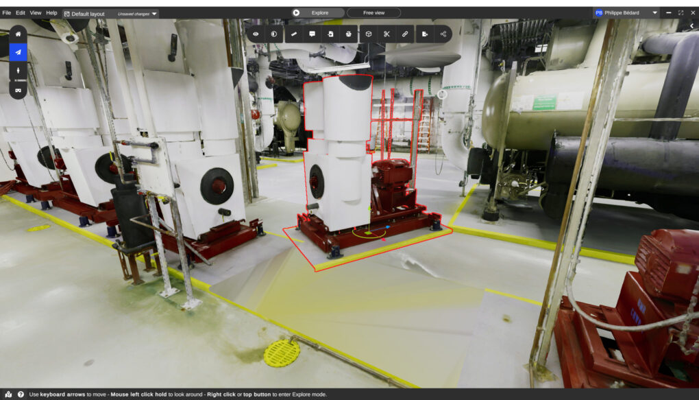
3d Interface Showing an Industrial Machine Selected for Cutting Within a Digital Twin Environment Prevu3d

Barriers to Accurate Estimates

In greenfield EPC projects, one of the first steps is preparing the site for construction. Before foundations can be laid, engineers must calculate how much material needs to be removed (cut) or added (fill) to level the ground.

Traditionally, this process relies on physical surveys and estimates — a time-consuming approach that often struggles with accuracy, especially when vegetation obscures the site. Missing or imprecise topographic data at this stage can lead to costly errors later, as earthworks are among the largest cost drivers in early-phase projects.

Geotechnical and civil engineers needed a faster, more accurate way to calculate cut and fill volumes beneath heavy vegetation.

The Prevu3D Approach

To solve this, the team used a drone-mounted LiDAR scanner capable of penetrating vegetation. The LiDAR scan generated multiple pulses per second, with the final return captured as ground data. This produced a precise topographic map of the site, stripping away trees, grass, and other vegetation.

The resulting dataset was imported into Prevu3D, where engineers could:

  • Digitally visualize the terrain without vegetation.
  • Define polygons and apply elevation adjustments (e.g., raise or lower by 2 meters).
  • Instantly calculate the volumes of material required for cut and fill operations.

By combining drone LiDAR technology with Prevu3D’s mesh-based visualization, the team gained a clear picture of the true ground conditions and early estimates for site preparation.

Discover the measuring tool >

The Results

This approach delivered significant benefits:

  • Accurate cut/fill estimates. Engineers could quantify material movement requirements early in the project.
  • Reduced uncertainty. Digital mapping eliminated guesswork caused by vegetation cover.
  • Faster decision-making. Early cost and schedule estimates could be produced with confidence.
  • Improved collaboration. The topographic model could be shared across teams to align on site preparation needs.
  • Reduced project cost and schedule. Manual topographic surveys can take days or even weeks for a multi-person crew to complete. 

With reliable topographic data in hand, engineers avoided underestimating or overestimating earthworks — a factor that can swing budgets by millions of dollars.

Prevu3D software calculating cut and fill volumes for site preparation.

Why It Matters

Earthworks are one of the largest cost components in greenfield projects, and even small errors in early estimates can compound into major overruns. By combining drone LiDAR scans with Prevu3D’s visualization and measurement capabilities, geotechnical teams can produce accurate cut and fill estimates faster and more safely than traditional methods.

This isn’t just about better numbers — it’s about setting projects up for success from day one. Reliable topographic data means more accurate budgets, reduced risk, and greater confidence as projects move from concept to construction.

Stop earthwork overruns before they break the budget. Book a demo with our experts and see how to improve accuracy, cut costs, and keep projects moving.
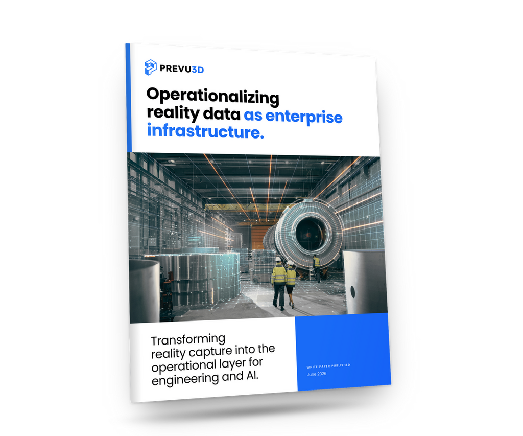
Cover of a Prevu3d Brochure Bold Headline operationalizing Reality Data As Enterprise Infrastructure over an Industrial Facility Photo with Workers in Safety Gear Prevu3d
WHITE PAPER

Operationalizing reality data: building the Enterprise Reality Layer

Who it's for
Free Download
28-page report
— digital twin webinars

Hear It from the Field

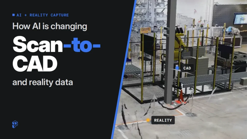
What Happens when Ai Understands Reality Prevu3d
Expert Xchange Series

What Happens When AI Understands Reality?

Watch Now
Hero Banner for a Live Webinar the Human Side of Digital Transformation with Blue Geometric Accents on a Black Background Prevu3d
Expert Xchange Series

The Human Side of Digital Transformation

Watch Now
Hero Banner reduce Time to decision with Faster Site Digitization with Blue Shapes on a Black Background Bottom Bar Reads Live Webinar Prevu3d
Expert Xchange Series

Reduce Time-to-Decision with Faster Site Digitization

Watch Now
— digital twin resources

Resources from the Reality Capture and Digital Twins As-built World

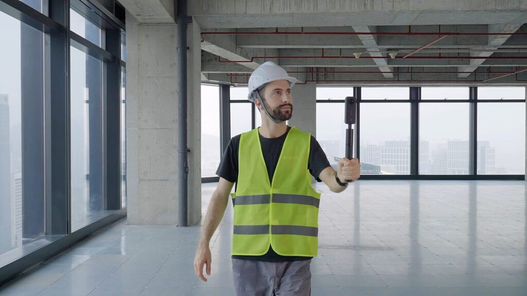
Construction Worker in a Neon Safety Vest and White Hard Hat Posing with a Selfie Stick in an Empty Unfinished Office Space Under Construction Prevu3d
White Paper

360° Video Reality Capture Guide for RealityPlatform™

360° Video Reality Capture guide for RealityPlatform™ Best Practices. Get the camera settings, four capture rules and a printable field checklist. Free download.
Download
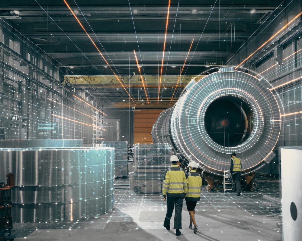
Industrial Factory Scene with a Large Cylindrical Machine and Three Workers in High visibility Vests Inspecting It Prevu3d
White Paper

Operationalizing Reality Data: Building the Enterprise Reality Layer

Reality data is trapped in isolated project files. See how the Enterprise Reality Layer turns scans into a continuously updated, AI-ready operational asset.
Download
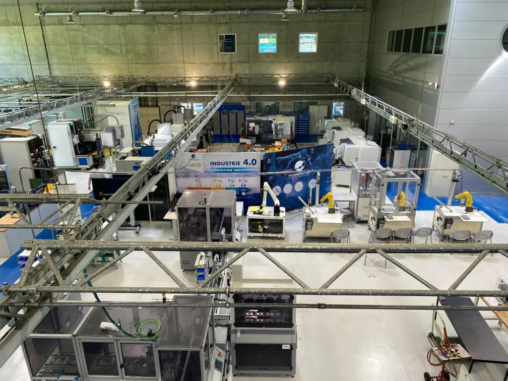
Overhead View of the Technifutur Industry 40 Workshop a White Cobot and Yellow Fanuc Robot Cells in Front Haas Cnc Machines and Festo Production Lines Behind Under a Steel Truss Prevu3d

From scan to shopfloor redesign: how XRintelligence developed an editable 3D workshop for Technifutur

See how XRintelligence used Prevu3D RealityPlatform™ to turn a LiDAR scan into an editable 3D digital twin for Technifutur’s shopfloor redesign.
Case study
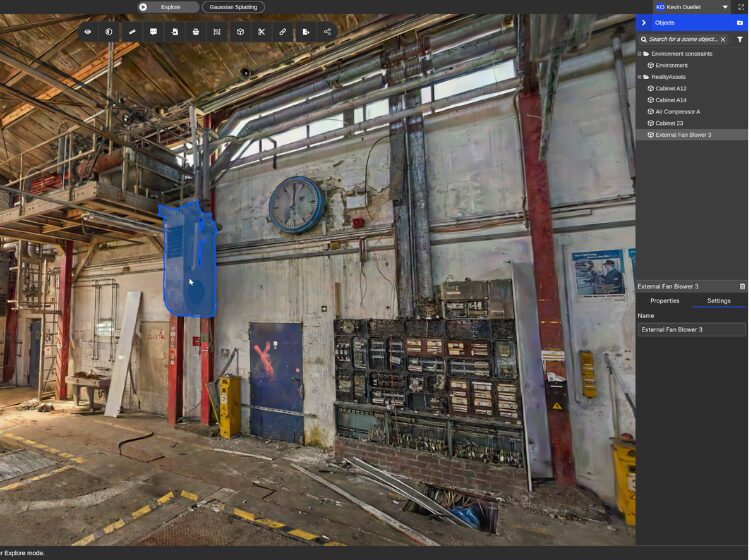
Industrial Workshop Interior with Exposed Pipes a Blue Hanging Hoist and a Wall Clock Above a Workbench Area Prevu3d

Deutsche Bahn: Facility Operations in a Digital Twin 3D Visualization Setup

Facility operations at Deutsche Bahn happen with Prevu3D Digital Twin 3D visualization: cutting maintenance costs, reduced travel, and transformed daily operations.
Case study
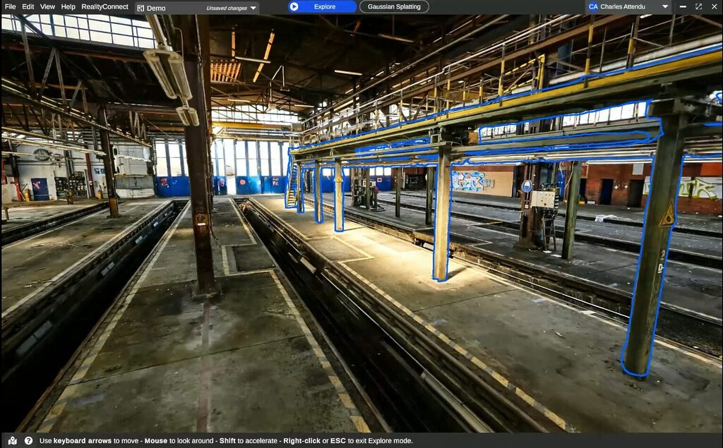
Inside a Large Industrial Rail Yardmaintenance Hall with Multiple Track Pits Metal Columns and an Overhead Gantry Blue Outlines Mark Suspended Walkways and Supports Prevu3d

Deutsche Bahn: From Manual 3D Modeling to a Digital Twin Foundation

Deutsche Bahn ditched manual 3D modeling for scan-to-mesh digital twins. See how 3d scan and Prevu3D digitized hundreds of rail stations at enterprise scale.
Case study

Accurate Cut and Fill Estimates with Drone LiDAR for Greenfield EPC Projects

Unlock tailored pricing aligned with your operational reality.


Industrial Workshop with Large Machinery and Workstations Foreground Shows a Trash Can Hoses and a Hydraulic Press While Desks and a Computer Sit in the Background Prevu3d
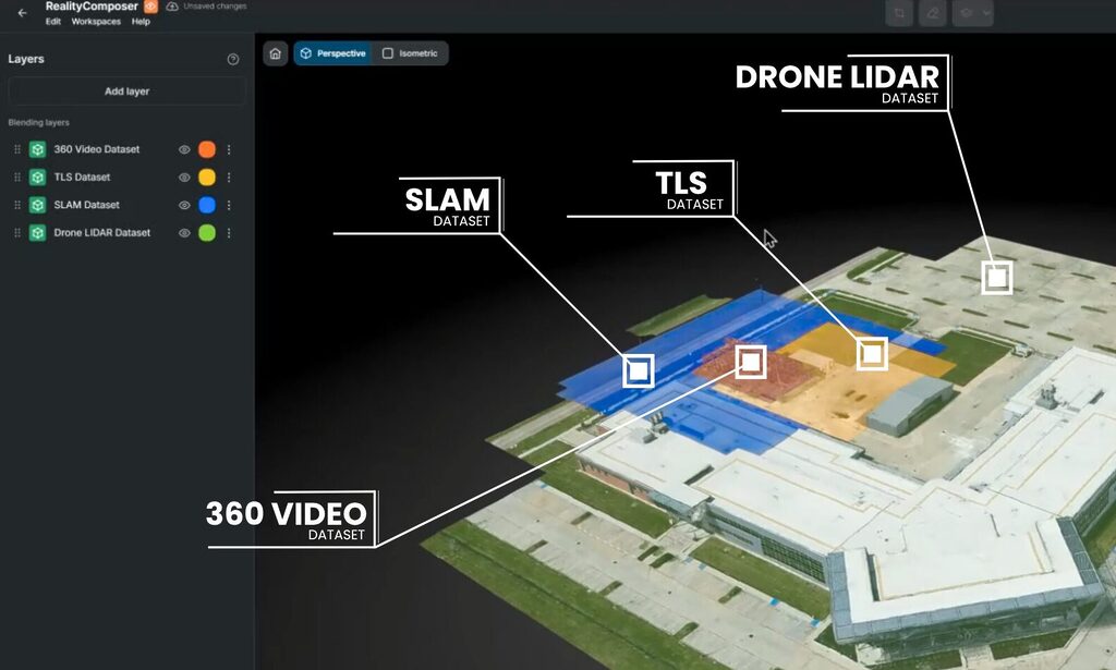
One Site for Gaussian Splats, 360 Video, LiDAR and Operational Context
Learn more