
Reality Capture Trends 2026: From Faster Data Collection to Faster Decision-Making
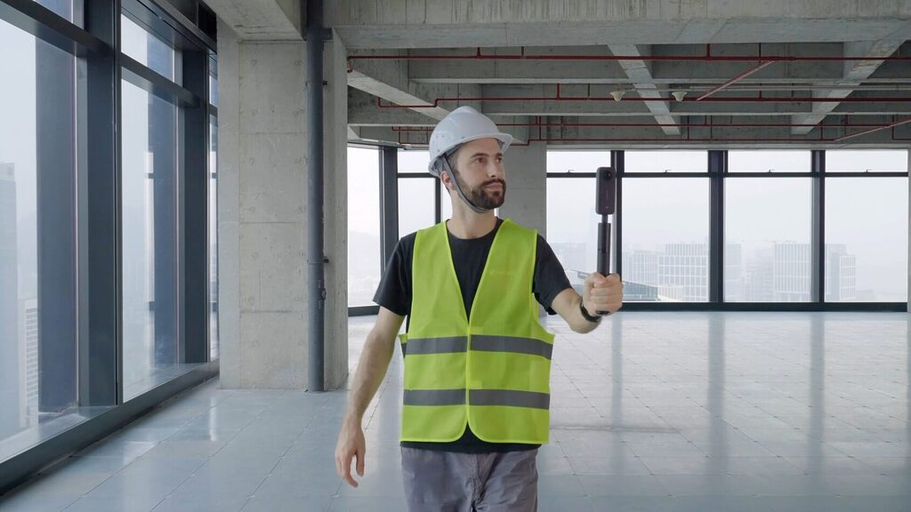
Reality capture technologies—mobile LiDAR, drones, and photogrammetry—have significantly reduced the time required to scan complex environments. Large-scale sites that once took weeks to document can now be captured in days.
However, this acceleration has exposed a new constraint.
The limiting factor is no longer data acquisition, but data processing, visualization, and usability. Organizations are now competing on how quickly they can transform raw spatial data into actionable insights.
In this context, reality capture speed is no longer about capture—it’s about decision velocity.
The Reality Capture Workflow Bottleneck: From Point Clouds to Usable Insights
Despite advances in scanning technology, many geospatial workflows still struggle with:
- Slow conversion of point clouds into usable formats
- Limited accessibility of large datasets for non-technical stakeholders
- Fragmented workflows across multiple tools
- Reprocessing cycles that delay project delivery
Raw point clouds alone do not meet modern expectations.
Clients increasingly demand:
- Decision-ready deliverables
- Visual outputs that support collaboration
- Seamless integration into BIM, CAD, and simulation tools
This gap between capture and usability represents the primary bottleneck in today’s reality capture pipelines.
Why Point Cloud Visualization and Data Accessibility Drive Faster Outcomes
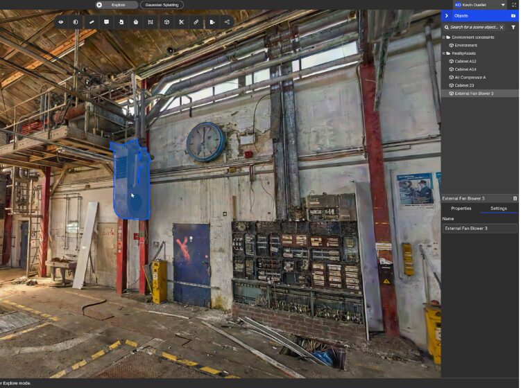
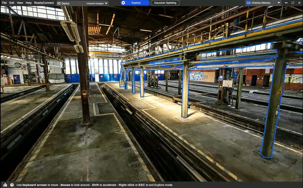
Efficient point cloud visualization is critical to accelerating reality capture workflows.
When teams can quickly access and navigate large datasets, they can:
- Validate site conditions earlier
- Identify constraints before design phases
- Align stakeholders using a shared visual reference
- Reduce costly rework caused by late-stage discoveries
Without accessible visualization, valuable data remains underutilized.
The ability to convert raw scans into intuitive, structured visual environments is now a key differentiator for geospatial teams.
Turning Reality Capture Data into Decision-Ready Digital Twins
Digital twins depend on high-quality, structured, and accessible data pipelines.
Reality capture provides the foundation, but its value is unlocked only when data becomes:
- Organized and segmented for analysis
- Interoperable with downstream systems
- Available early enough to influence decisions
Accelerating the transition from scan data to digital twin environments enables:
- Faster design validation
- Improved operational planning
- More accurate simulations
In practice, the speed of data readiness directly impacts the effectiveness of digital twin initiatives.
How Optimized Reality Capture Workflows Improve Project Delivery Speed
High-performing teams focus on reducing friction across the entire workflow, not just improving capture speed.
Key optimization strategies include:
1. Early Data Visualization
Accessing scan data immediately after capture allows teams to begin analysis without waiting for full model reconstruction.
2. Centralized Data Environments
Managing large datasets in a unified platform reduces file transfer delays and versioning issues.
3. Structured Data Outputs
Preparing clean, organized outputs ensures compatibility with design, engineering, and simulation tools.
4. Iterative Workflows
Teams can move forward with partial data, refining insights as datasets evolve rather than waiting for perfection.
These approaches significantly reduce the time between capture and actionable insight.
The Importance of Interoperability in Geospatial and Reality Capture Pipelines
Modern reality capture workflows span multiple tools and stakeholders.
Interoperability is essential to avoid:
- Data silos
- Redundant processing
- Workflow inefficiencies
Solutions that support open formats and seamless integration with BIM, CAD, and visualization platforms enable smoother transitions across project stages.
This reduces delays and ensures that data remains usable throughout the lifecycle.
Why Partnerships Are Critical in Scaling Reality Capture Workflows
No single platform can address every requirement across the reality capture ecosystem.
Organizations that combine:
- Robust data platforms (for ingestion, visualization, management)
- Specialized partners (for domain expertise and delivery)
can achieve both scalability and agility.
This collaborative model enables:
- Faster project turnaround
- Greater flexibility across industries
- Improved alignment between technical and business teams
Partnership-driven workflows are increasingly becoming the standard in advanced geospatial operations.
Speed, Visualization, and Workflow Efficiency Define the Future of Reality Capture
Reality capture is evolving from a data acquisition discipline into a data-to-decision pipeline.
Organizations that focus on:
- Faster data processing
- Better visualization
- Integrated workflows
will outperform those that prioritize capture volume alone.
The competitive advantage lies in how quickly spatial data can be transformed into meaningful, decision-ready insights.