




NEW in RealityPlatform™: Assess any site with just a 360° Camera. Learn about the partnership with Insta360.
Digital Twin white papers

Laser Scanning with purpose: Maximize Reality Capture Process

About: laser scanning, reality capture, point clouds, spatial data, LiDAR, photogrammetry, digital twins, 3D visualization, geospatial workflows, data-to-decision, scanning efficiency

Ideal for: Surveyors, geospatial professionals, reality capture specialists, engineers, architects, construction managers, digital twin teams, industrial planners

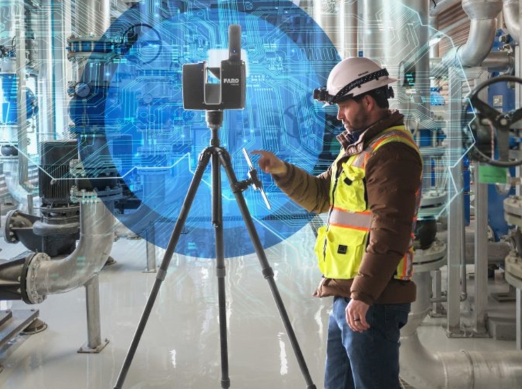
Laser scanning technology has revolutionized how we capture and utilize spatial data across various industries.

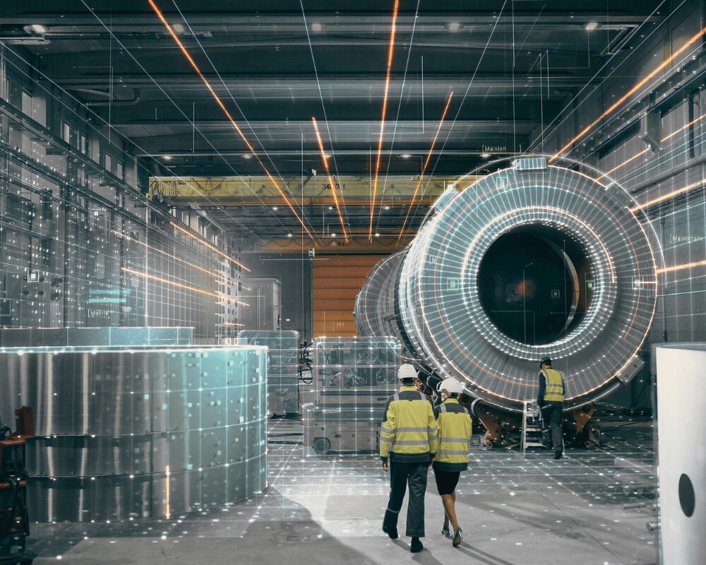
From manufacturing and engineering to architecture, scanning has become an indispensable tool for maximizing reality capture data.

In this article, we’ll explore the purpose of laser scanning and its widespread use across complex industries, shedding light on its incredible potential for precision, efficiency, and innovation.
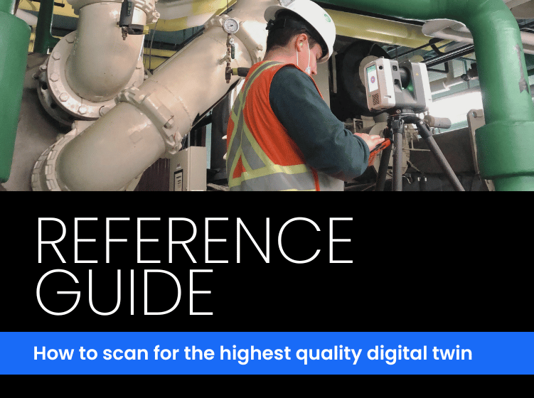
Download Laser Scanning with purpose: Maximize Reality Capture Process White Paper

Book a walkthrough and we'll turn one of your reality captures into a live demo.

Get your spot. Seats are limited.

You only have
to reserve