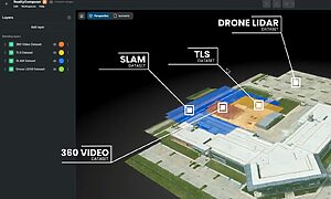

Unified, up-to date 3D scan data
RealityComposer™ allows you to assemble and align 3D scans into a unified, up-to-date view of your facility using any capture method or data source.
combine, update, unify 3d layers of reality
Align and assemble reality data into one source of truth
RealityComposer™ allows teams to layer SLAM, drone, terrestrial scans and 360° data into a unified, continuously updated 3D Model, ready to export. See clipping tools and georeferenced alignment in action—all through an intuitive, visual interface.
Device agnostic
Supports LiDAR, SLAM, 360, photogrammetry
Easily assemble scans from a wide range of capture devices and formats.
Highly accurate
Auto-align or fine-tune manually
Maintain spatial consistency across scanning sessions and project updates.
Continuity
Built for rescan workflows
Layer updates over time to reflect site changes without starting from scratch.
RealityComposer™ is built to fit your engineering workflows
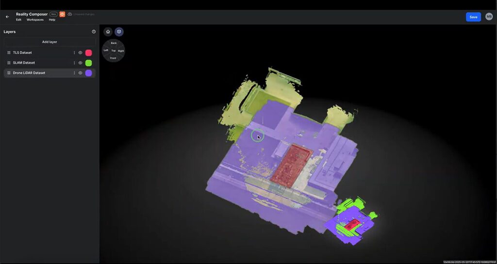
Multi-Scan Alignment
Assemble and align spatial datasets into a single, cohesive visual model.
- Supports a wide range of 3D capture formats, including LiDAR, SLAM, and drone-based scans
- Automatically aligns datasets using georeferencing or control points
- Manual tools available for precise alignment adjustments
- Clean up noise, clutter, or irrelevant data directly in the workspace
- Update and expand facility models over time without starting from scratch
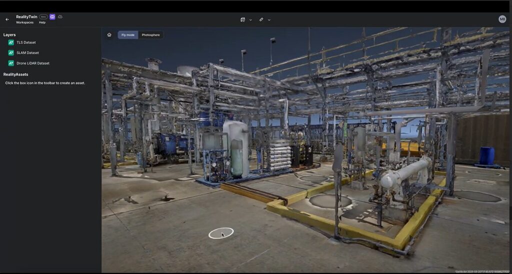
Multi-Source Scan Assembly
Bring together data from various 3D capture technologies into one connected spatial model.
- Import and organize LiDAR, SLAM, drone, and 360° datasets in a single project
- Assemble scans from different sources without preprocessing or format conversion
- Maintain spatial continuity by placing non-overlapping scans side by side
- Group scans by zone, floor, or time to support progressive buildouts
- Build a comprehensive facility view regardless of device type or vendor
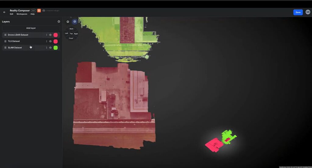
Georeferenced Precision
Ensure spatial accuracy across layered scans with robust georeferencing tools.
- Auto-align with control points or manual tools
- Maintain consistent spatial integrity through rescans
- Foundation for asset tagging and traceability
- Support integrations of future retrofits, turnarounds and layout updates

Managing buildings, I must ensure that construction plans are up to date, often requiring on-site measurements and validations. This information is available in our 3D environment on the Prevu3D platform, which is accessible even when working from home or on-site with suppliers.
Read the Case StudyYves Gaudreault
Mechanical Engineer, General Mills