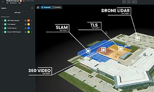

Combine Advanced 3D Scan Visualization
Bring 3D point clouds, panoramic images, 3D Mesh models, and Gaussian Splats to life with advanced visualization on RealityPlatform™.
Combine Advanced 3D Scan Visualization
Unified Powerful Visuals for Point Clouds, CAD, Gaussian Splats and Meshes
RealityPlatform™ renders point clouds, CAD designs, meshes, and Gaussian splats in one reality management platform. Navigate effortlessly, so teams can work with avatar, flythrough, and photosphere modes.
Visualize
Reality capture data
View point clouds, CAD designs, meshes, Gaussian splats, layouts in one platform.
Navigate
Advanced exploration
Explore projects with avatar, flythrough, and photosphere modes.
Understand
Insightful modes
Use X-ray, heightmap, shaded, and MatCap views for better project context.
Combine Advanced 3D Scan Visualization
Four visualization modes for every reality capture data
Point clouds, panoramic images, 3D meshes and Gaussian splats, side by side in RealityPlatform™. Pick the view that fits the question and the person asking it.

3D Point Clouds
Measured reality
Navigate laser scanned sites point by point. The reference for what is really there, down to the bolt.

3D Mesh Models
Solid surfaces
Continuous surfaces built from capture data. Easy to read, easy to orbit, easy to share.
New view

Panoramic images
360° photospheres
Step into 360° pictures taken at each scan station for instant, familiar visual context.
New view

Gaussian splats
Photoreal scenes
Lifelike, navigable scenes built from photos or video, with reflections, vegetation and natural light intact.
Combine Advanced 3D Scan Visualization
Transform how you explore and analyze reality capture data
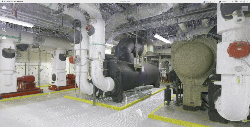
Point cloud viewer
- Easily inspect raw point cloud data directly within the Point Cloud Viewer.
- Adjust the minimum and maximum height of the point cloud change the viewing mode from top to any of the side views.
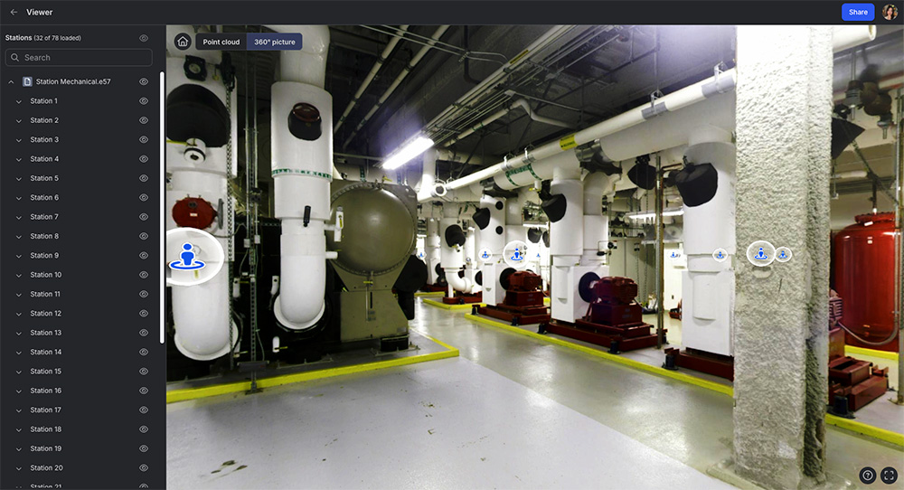
- Navigate seamlessly through site captures using immersive photosphere and picture-based navigation modes.
- View, manage, and share raw point cloud data effortlessly on RealityPlatform.
- Enjoy an intuitive interface designed for smooth exploration and walkthroughs of 360° site captures.
Navigation modes
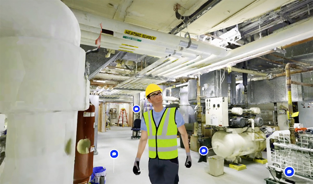
- Navigate 3D environments using advanced modes like avatar, flythrough, and photosphere for a dynamic experience.
- Use avatars to virtually “walk around” and explore spaces, bringing your 3D environment to life.
- Switch between X-ray, heightmap, shaded, and MatCap (greyscale) modes to enhance contextual understanding.
- Combine navigation and visualization styles for a deeper understanding of your environment.
Document
- View project layouts, track changes, and take precise measurements.
- Attach notes, documents, and URL links directly to assets.
- Provide comments on assets and project files, tagging users for feedback.
- Enable seamless collaboration with multiple users in a shared environment.
- Share projects with an unlimited number of web users.

With Prevu3D, projects where we have many engineers collaborating, we can give them access to the platform and they can get all their measurements in one place. It allows them to make quicker and better decisions, like ‘We’ll move this machine one meter or two, or we can insert new equipment here because we have the space.’ It’s been an extremely useful tool for that purpose.
Seneca Digital Twin Case StudyJean-François Legault
Chief Environment, Health, and Safety Officer at Seneca